Length: 6 Days | Budget: $$$
We spent a total of 6 days in Iceland. This blog post covers part two of our trip – our time visiting the Snaefellsnes Peninsula and then traveling down to Vik and the South Coast of Iceland. To check out the first half of our trip, check out Iceland Guide 1: Golden Circle + Reykjavik here.
Day 3: Snaefellsnes Peninsula
We started our 3rd day bright and early by taking Iceland’s Highway 1 (also known as the Ring Road) from Reykjavik towards Snaefellsnes (about a 2-hour drive). The drive was absolutely stunning, taking us through the long Hvalfjörður tunnel, across bridges, and past colorful homes and churches that seemed perfectly content in their isolation.
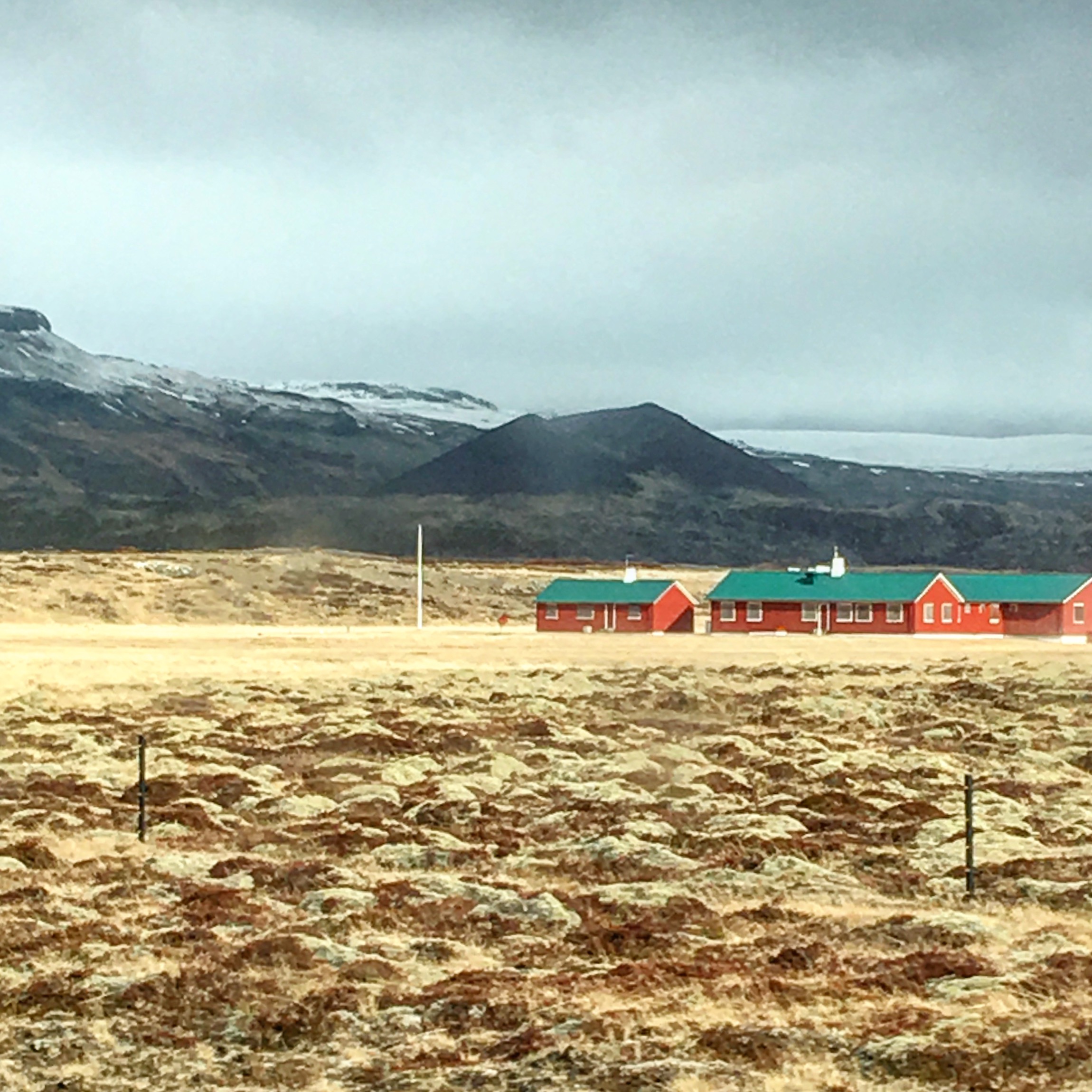
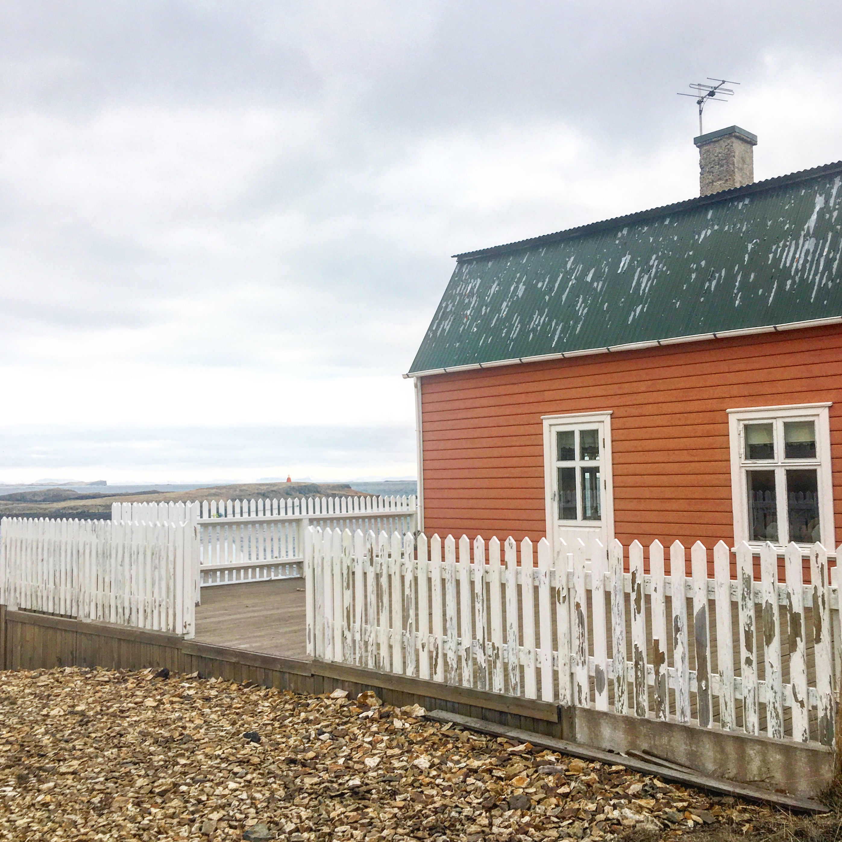
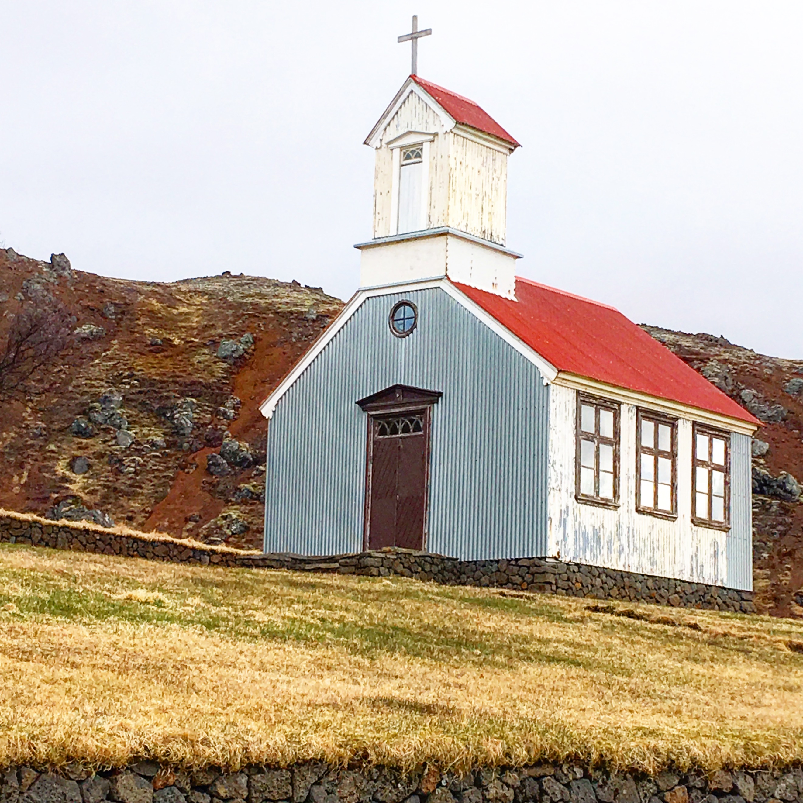
Our first stop along the drive was Gerðuberg, a long cliff wall featuring perfectly formed basalt rock columns. There’s no sign for Gerðuberg, but the natural phenomenon can be easily spotted from the road.


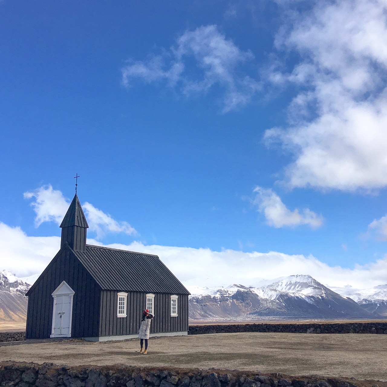
The next stop on our drive was one of my favorites – the remote black church of Buðir, located in the southern edge of the Snaefellsnes Peninsula. Buðir hadn’t originally been part of our original travel itinerary, but we happened to see a postcard featuring it when we roamed the various shops of Reykjavik, and HAD to add it into our schedule! It was totally worth the extra, short 10-minute drive off the main road. Standing next to the church, being surrounded by nothing but gargantuan mountains and endless views of the valley was one of the more surreal experiences in life.
The drive then took us into Arnarstapi, a quaint little fishing town located right beneath the Snæfellsjökull Glacier. Snæfellsjökull is famous for containing the entrance to the passage leading to Jules Verne’s, center of the earth. The glacier is massive and can be seen from pretty much anywhere on the peninsula – however, I thought the best view of the peninsula was in Arnarstapi, just a short distance behind the sculpture of the half-troll Bárður Snæfellsás.
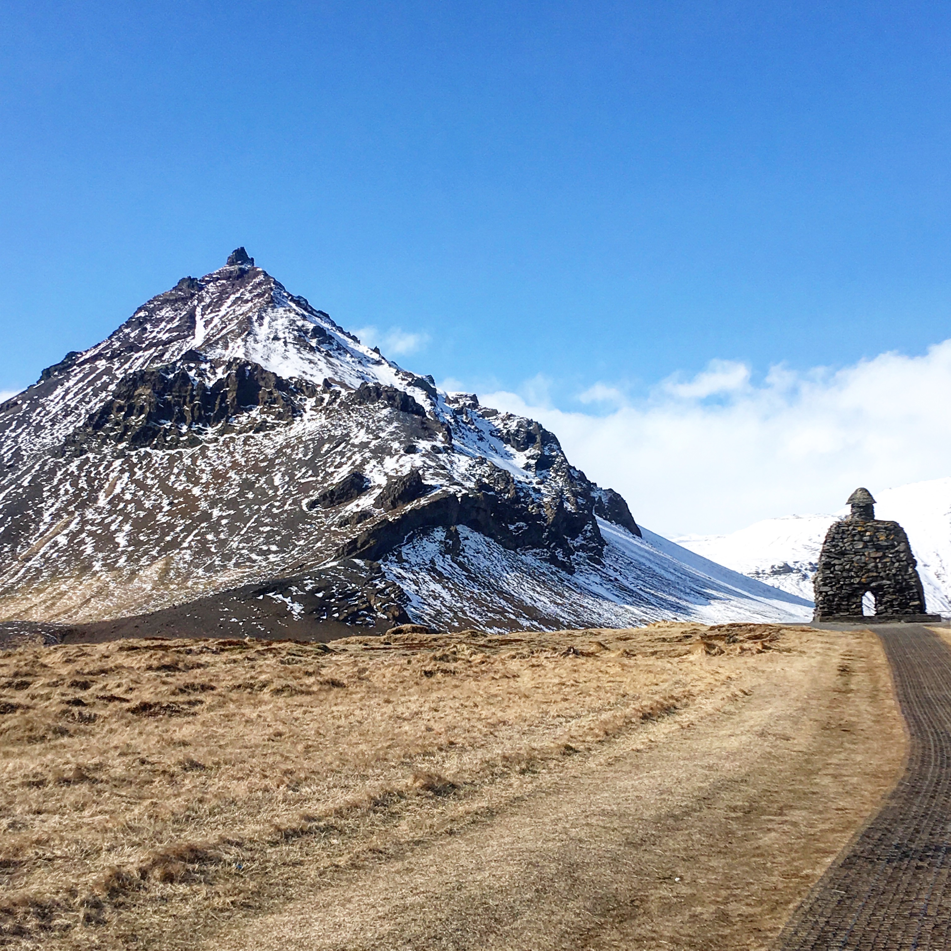
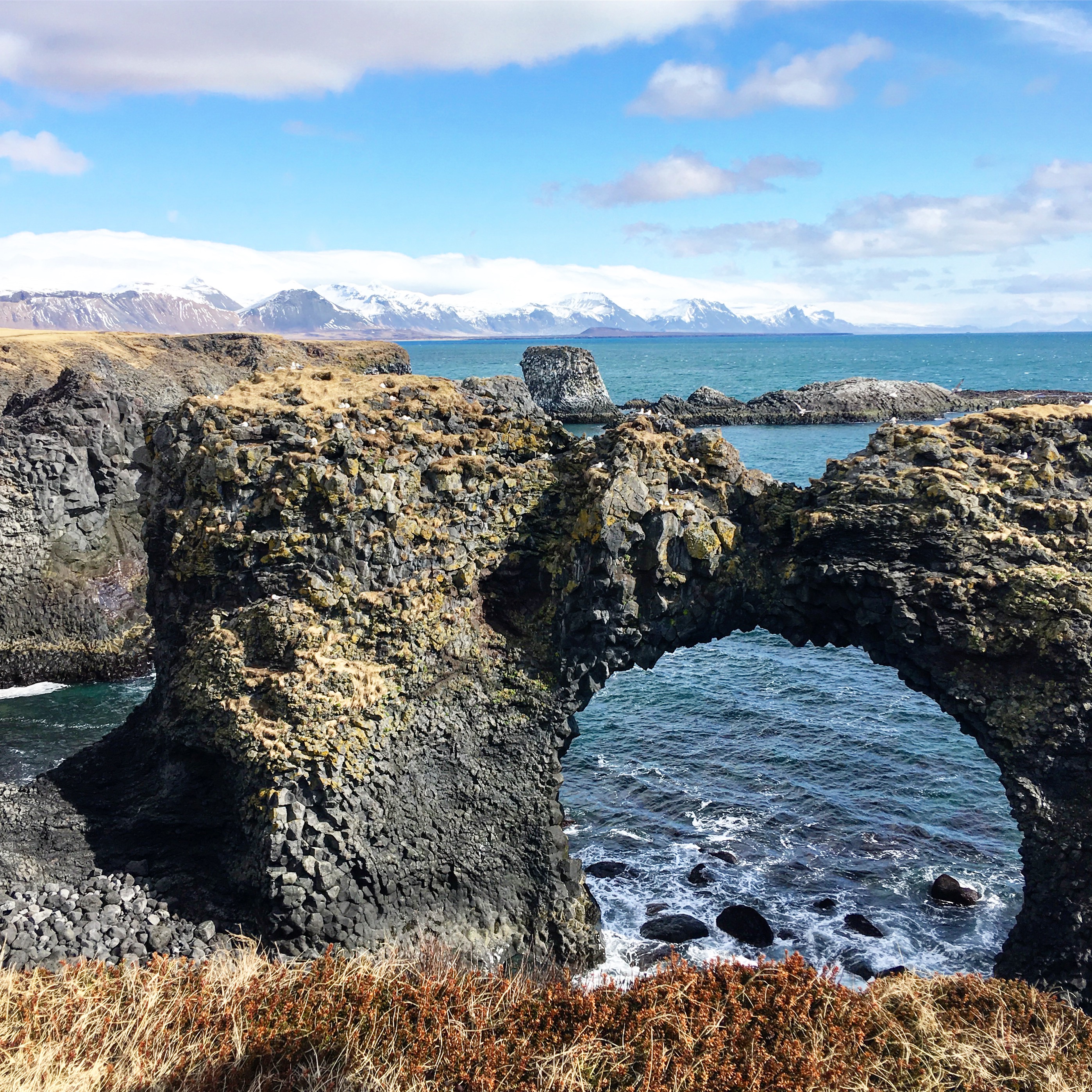
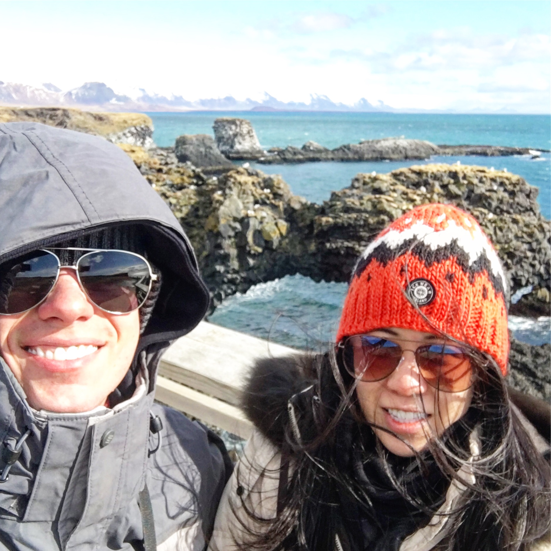
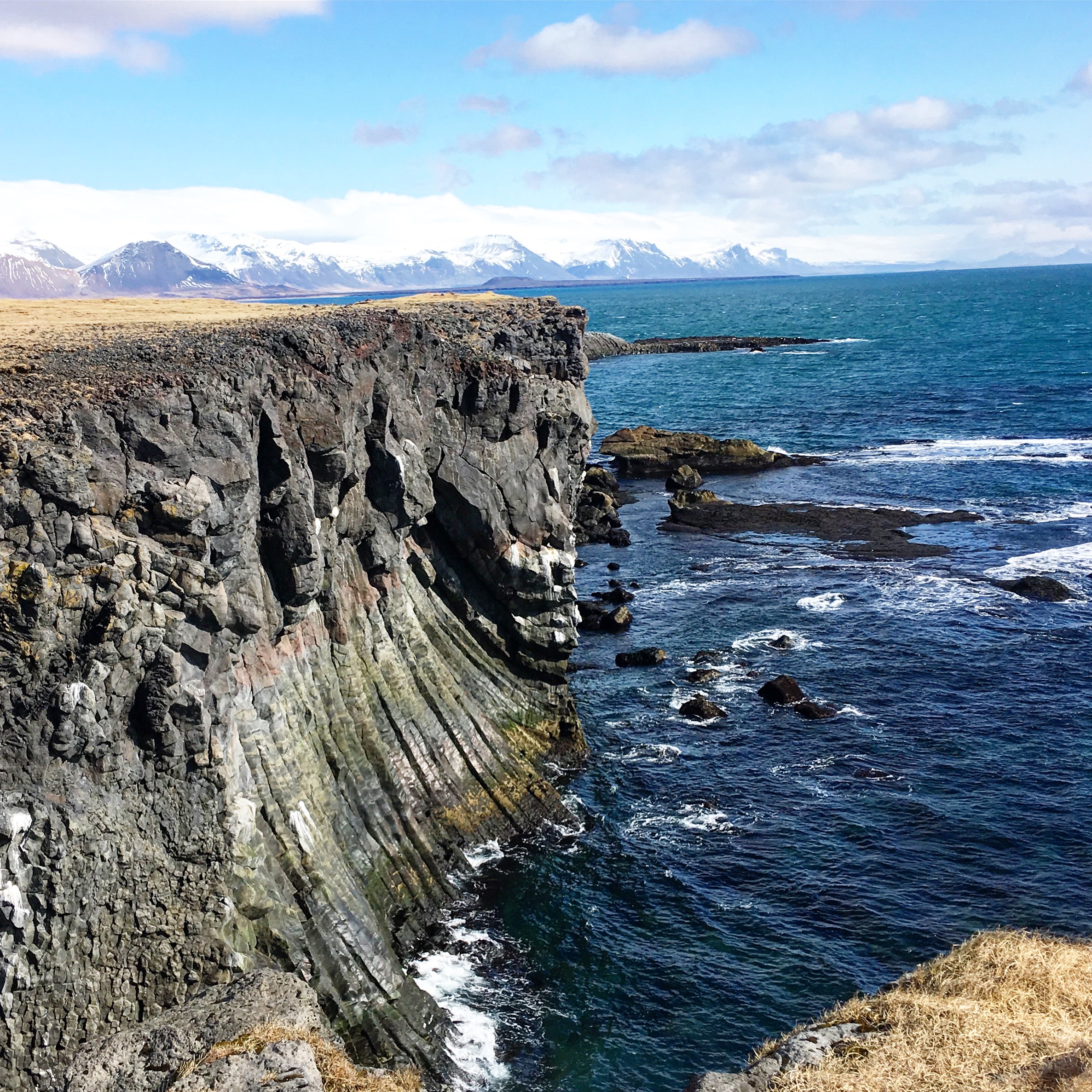
Arnastapi offers great views of the western Iceland coast. While most tour buses to the area only made a short pit-stop in Arnastapi (just enough time to snap a quick picture of the amazing rock formations), we decided to explore the area by taking a moderate hour-long hike from Arnastapi to the neighboring village of Hellnar, along an old (and muddy) horse trail. It was one of the more memorable hikes in life…as we found ourselves traipsing through a lava field (Hellnehraun) along the ocean for the better part of the trip!
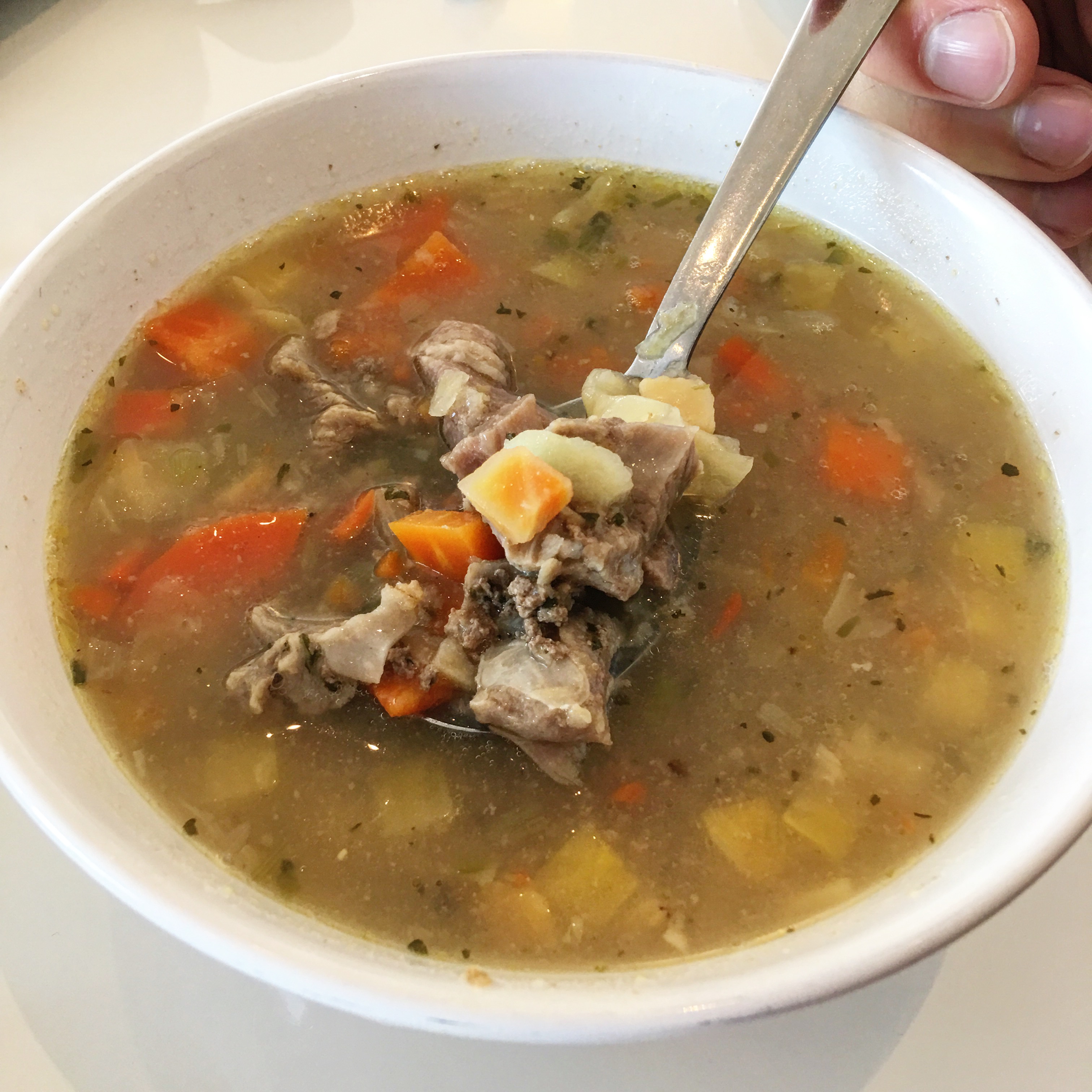
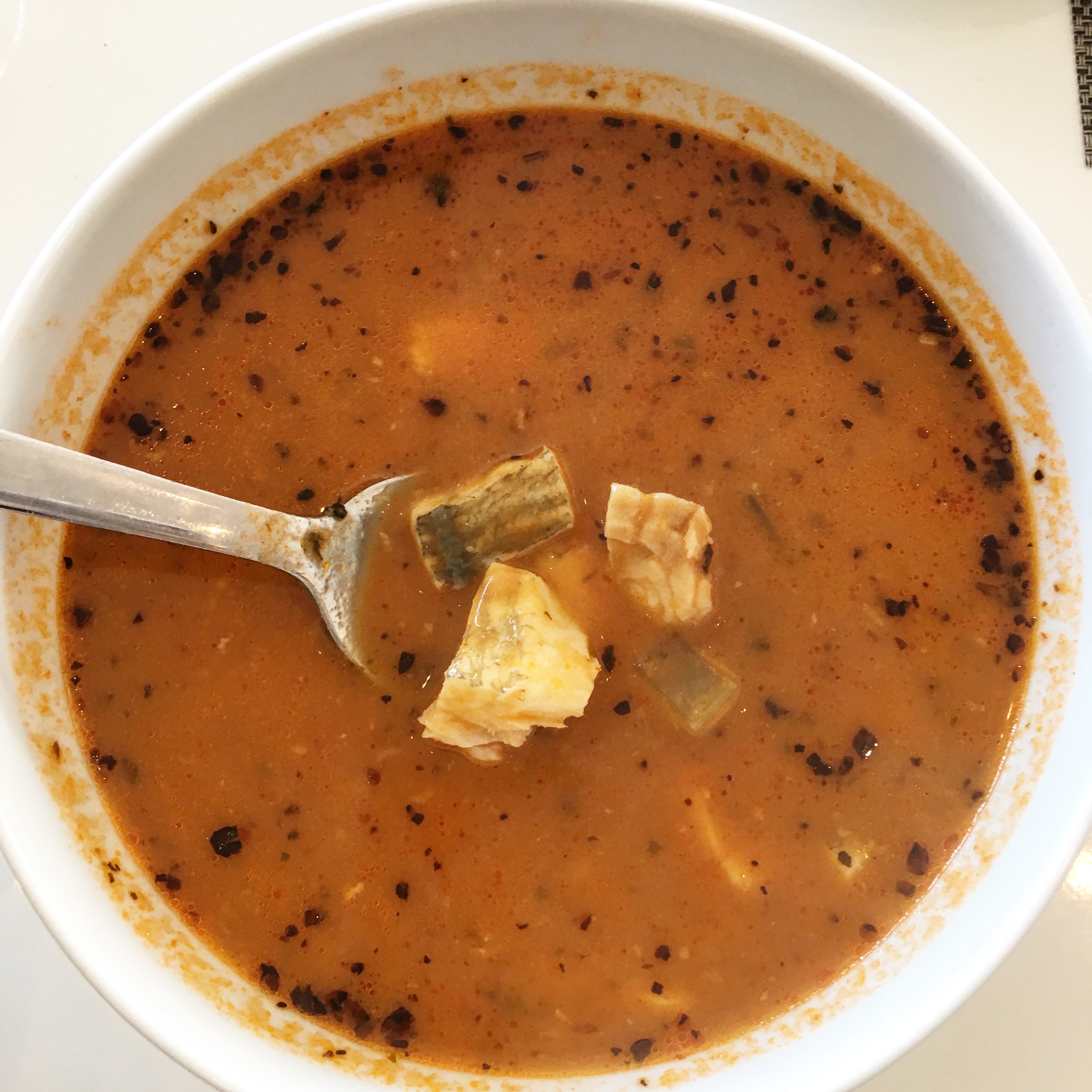
We refueled our energy by treating ourselves to a hearty lunch (Kevin got the Icelandic lamb soup, and I ordered a traditional fish soup) while in Hellnar, before making our way back to Arnastapi.
TIP: A famous lunch spot in Hellnar is Fjöruhúsið, which features fish soup. The cafe is right at the end of the hike from Arnastapi to Hellnar. We unfortunately couldn’t dine there, as their card machine had broken down for the day. I was pretty bummed because it looked absolutely adorable.
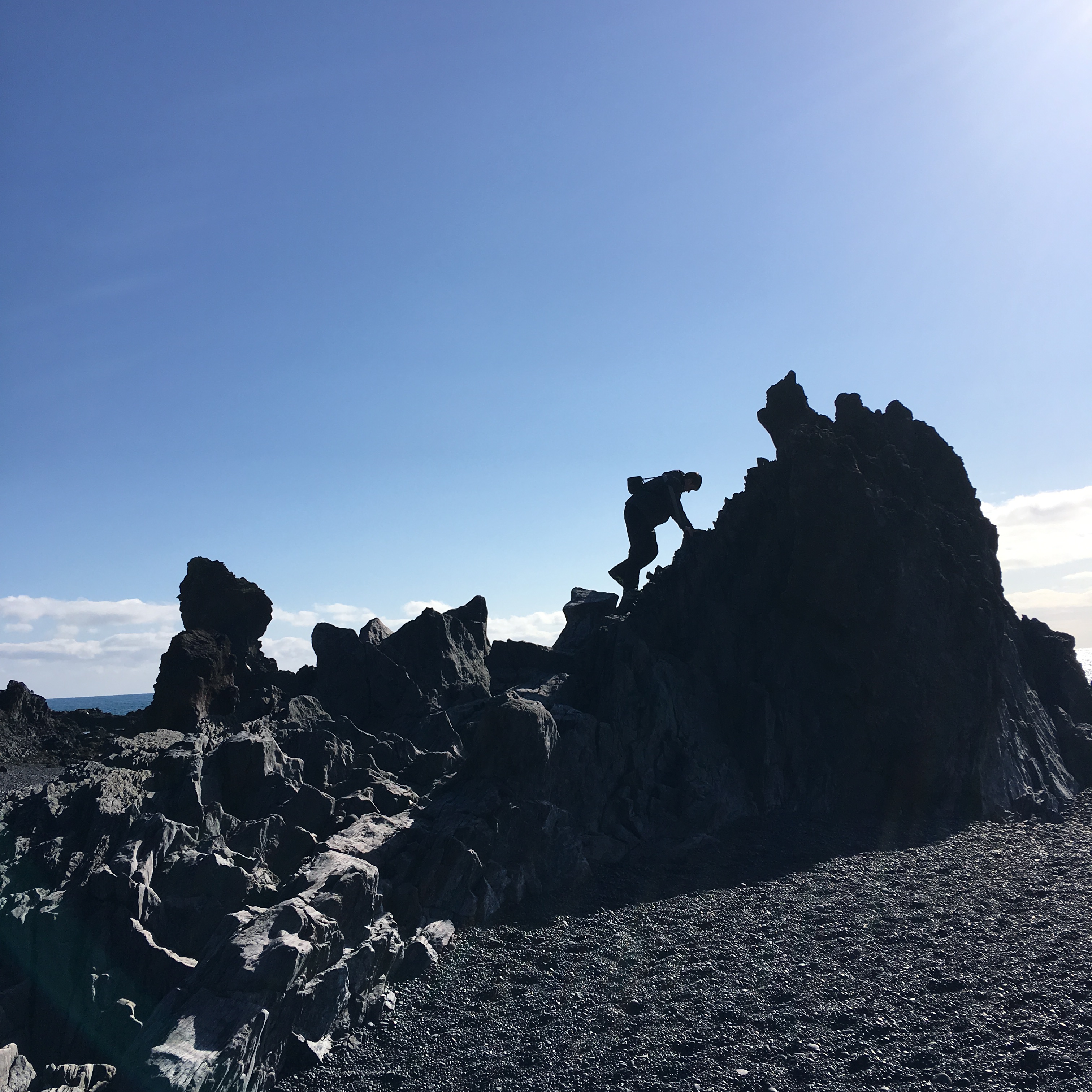
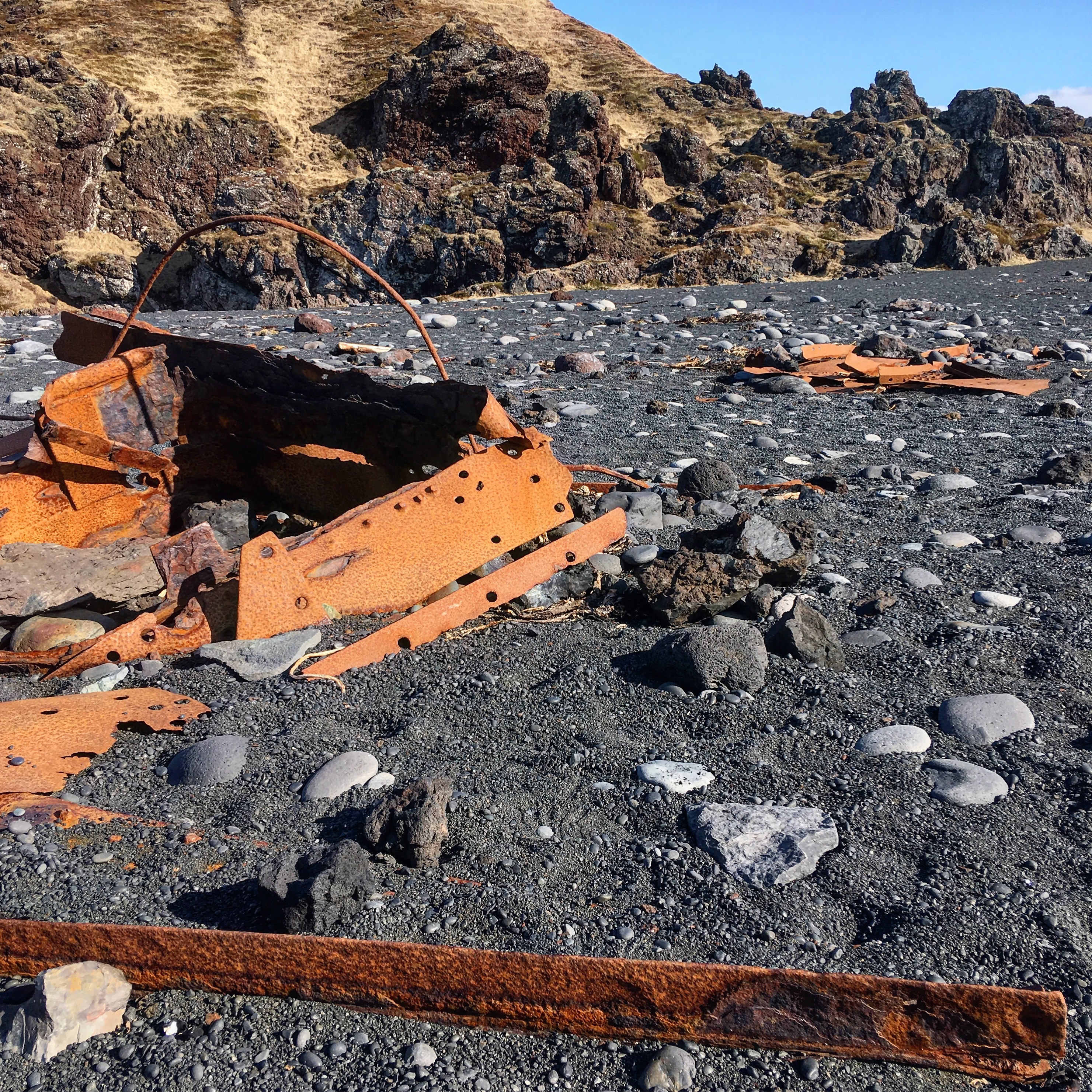
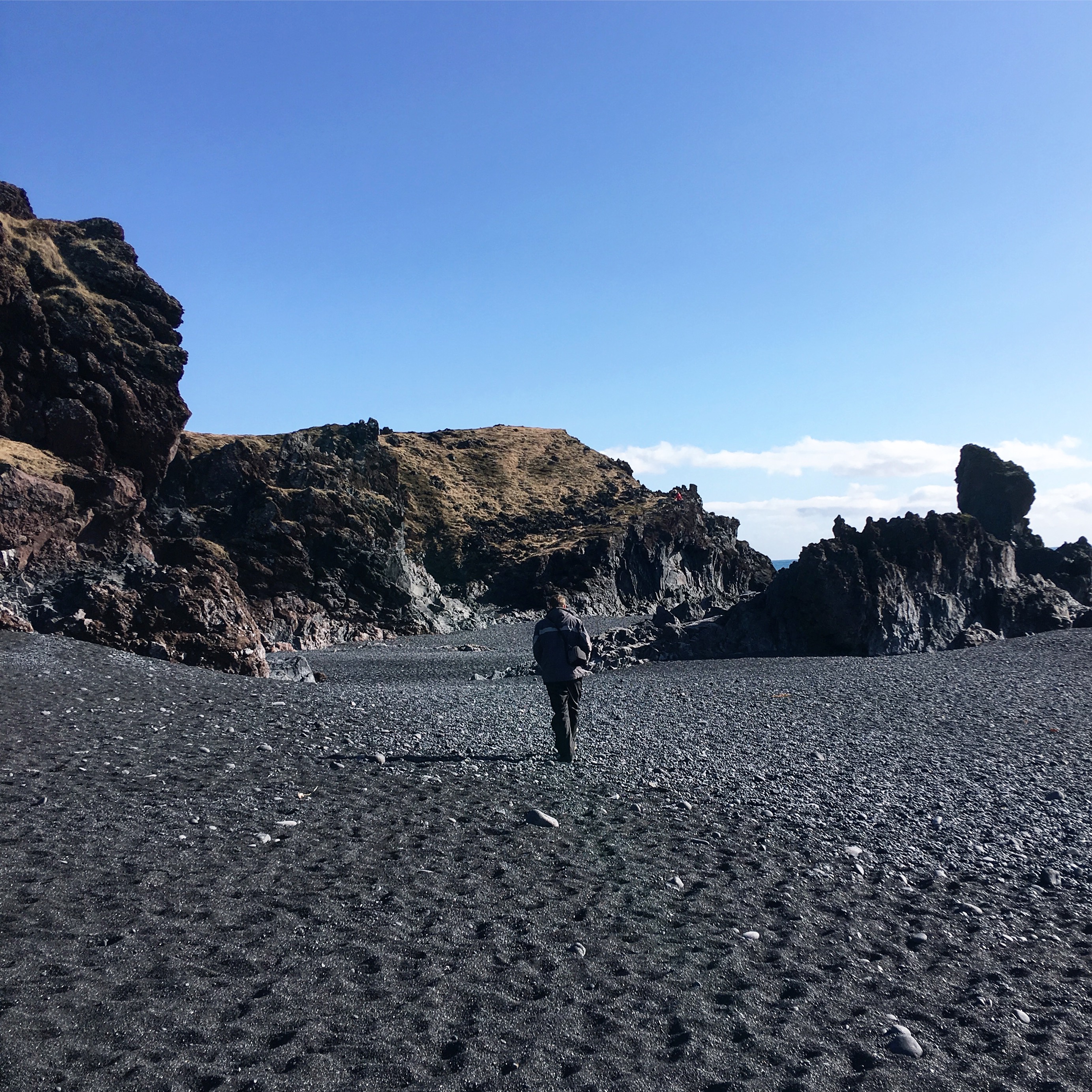
We then drove to Djúpalónssandur, a black pebble beach located at the western tip of the Snaefellsnes Peninsula known for wicked currents that have damaged and destroyed several ships. In fact, you can see several remnants of past shipwrecks as you walk along the beach! We spent a good 30-minutes at the beach searching for a perfectly round black pebble to take home to my sister as a souvenir (she has a thing for rocks, and spent much of her childhood filling her pockets with dirty rocks and pebbles to my mother’s dismay).
Afterwards, we headed north around the peninsula towards Kirkjufell Mountain, which took us past several small colorful fishing villages along the coastline. Kirkjufell is famous for being a perfectly symmetrical, free-standing mountain. It is possible to climb the mountain (the climb takes ~2 hours), but it was starting to get late in the day so we decided not to risk it. From there, we made the long trek back to Reykjavik, where we enjoyed a nice dinner at Svarta Kaffid (a busy cafe that only makes 2 types of soups each day – meat or veggie – and serves them piping hot in fluffy sourdough bread bowls).


Day 4: Vik
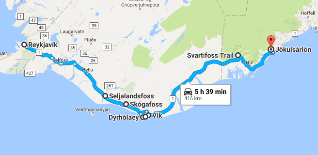
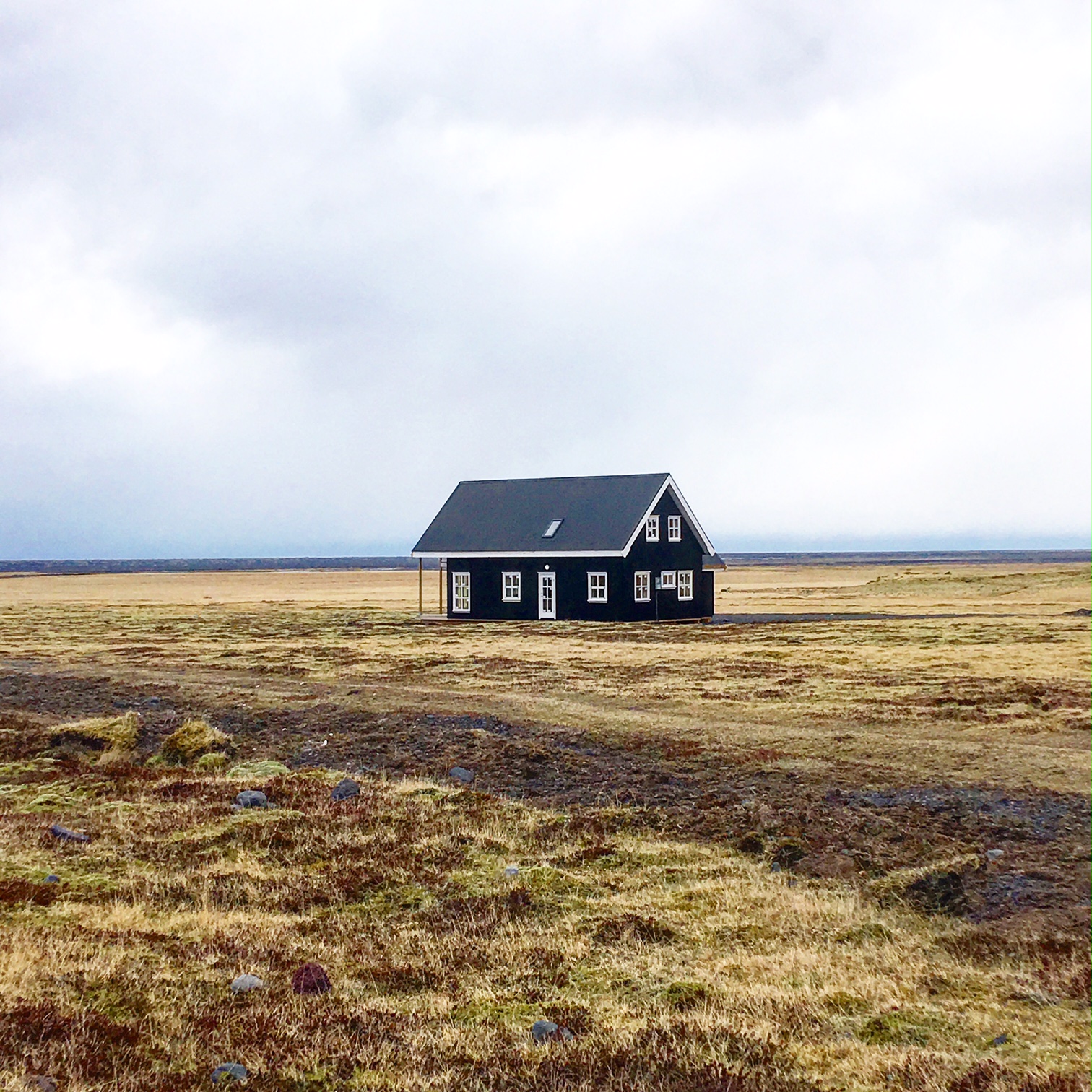
On Day 4, we checked out of our Reykjavik AirBnB and made the drive towards Vik on the south coast of Iceland. Gazing out of the window during the drive, I couldn’t help but feel like I was on an alien planet. Everything we saw seemed both beautiful and a bit bizarre – and I couldn’t resist playing Bjork and Sigur Ros on repeat to match the mood.
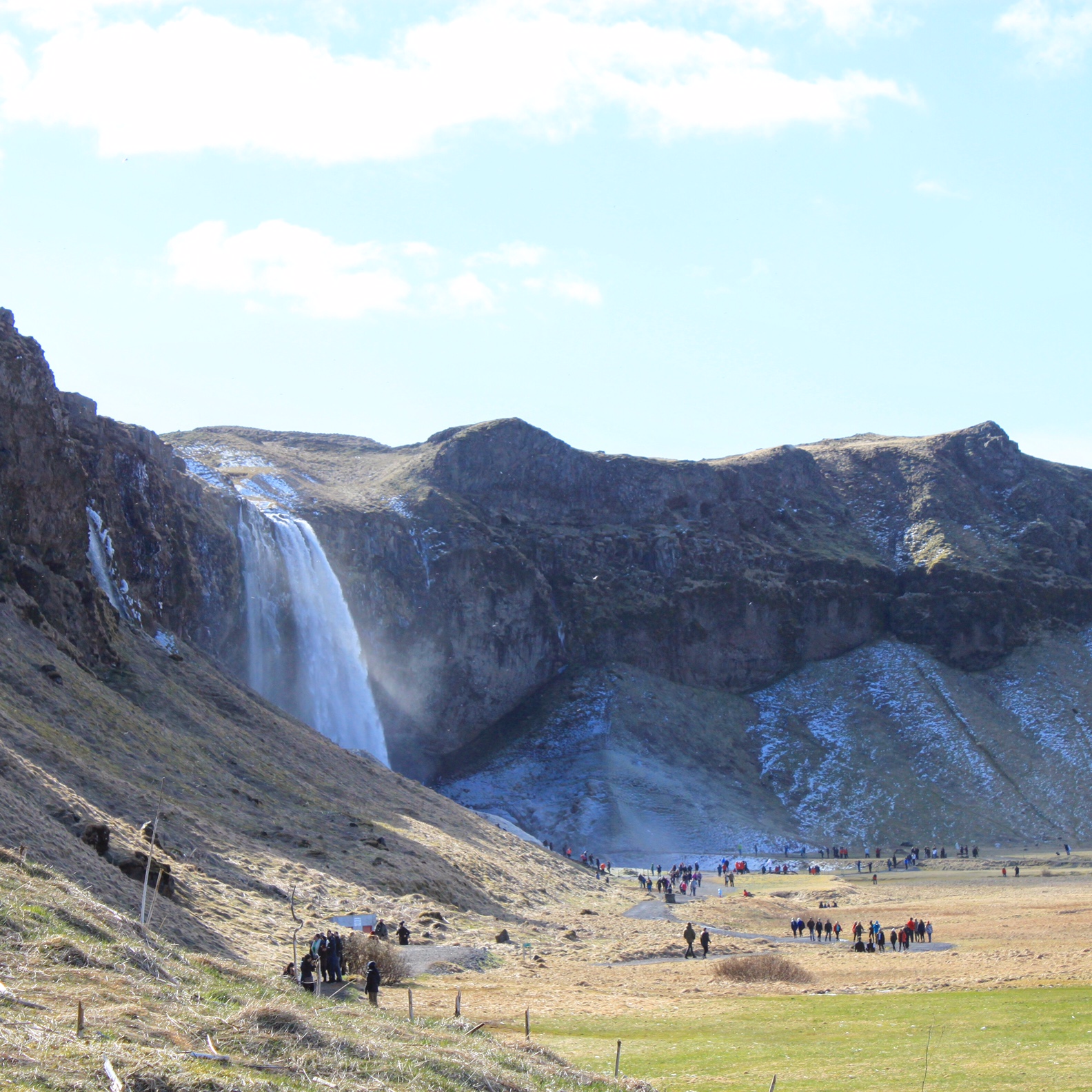
Stop 1 was Seljalandsfoss Waterfall, one of the better known waterfalls in Iceland because you can walk behind it! Unfortunately, we attempted to do this but failed miserably because the pathway leading to the waterfall was completely covered in ice. Everyone (us included) kept slipping everywhere, and it was actually quite dangerous. So, we gave up and had to admire the waterfall from afar.
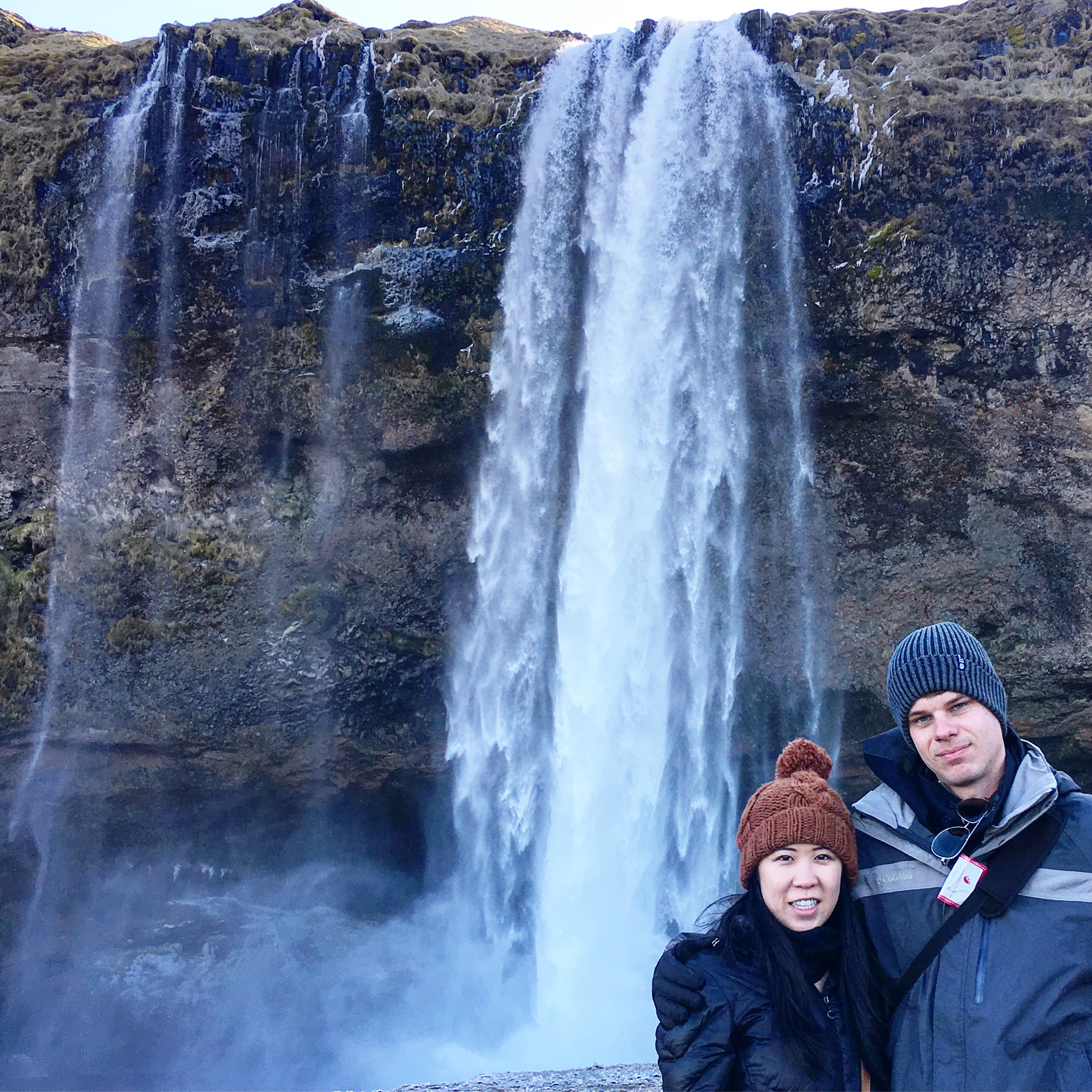
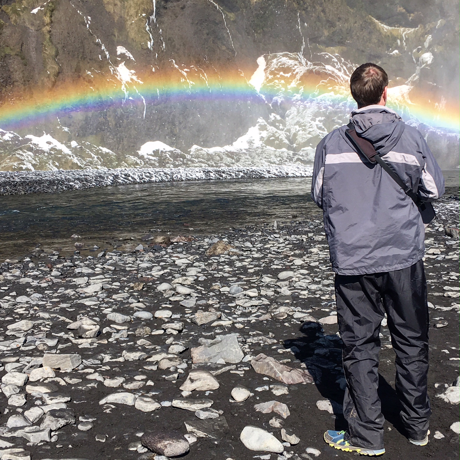
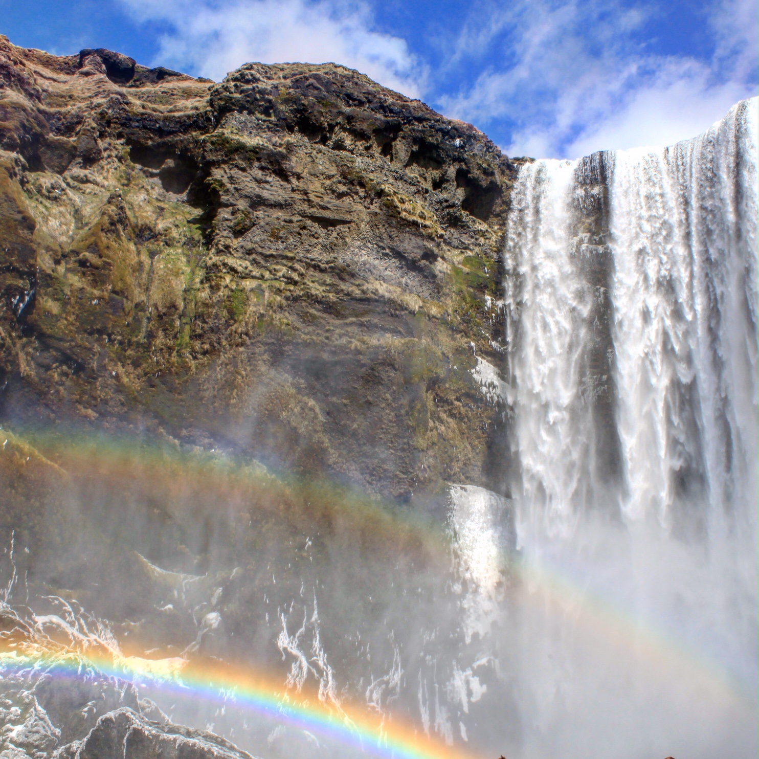
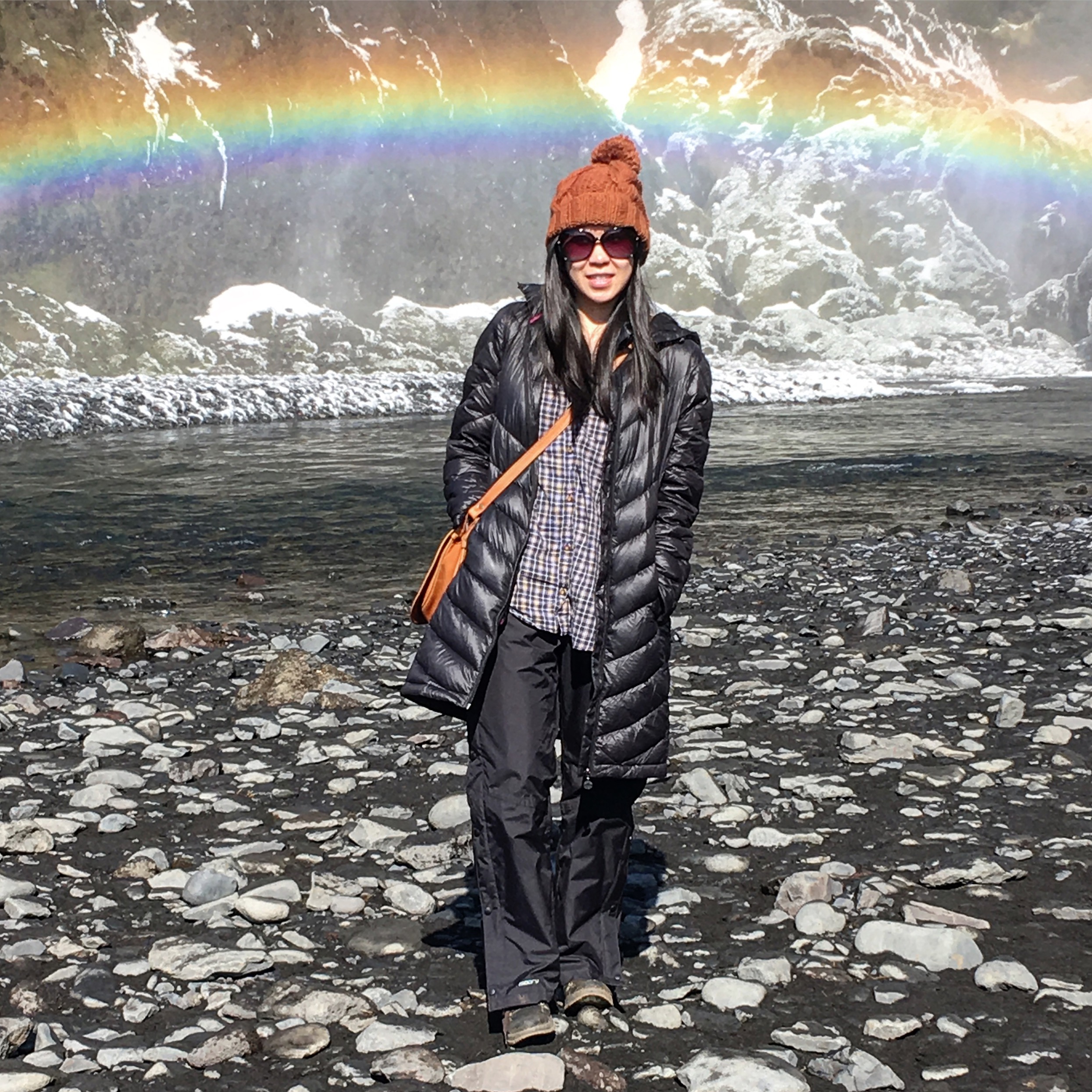
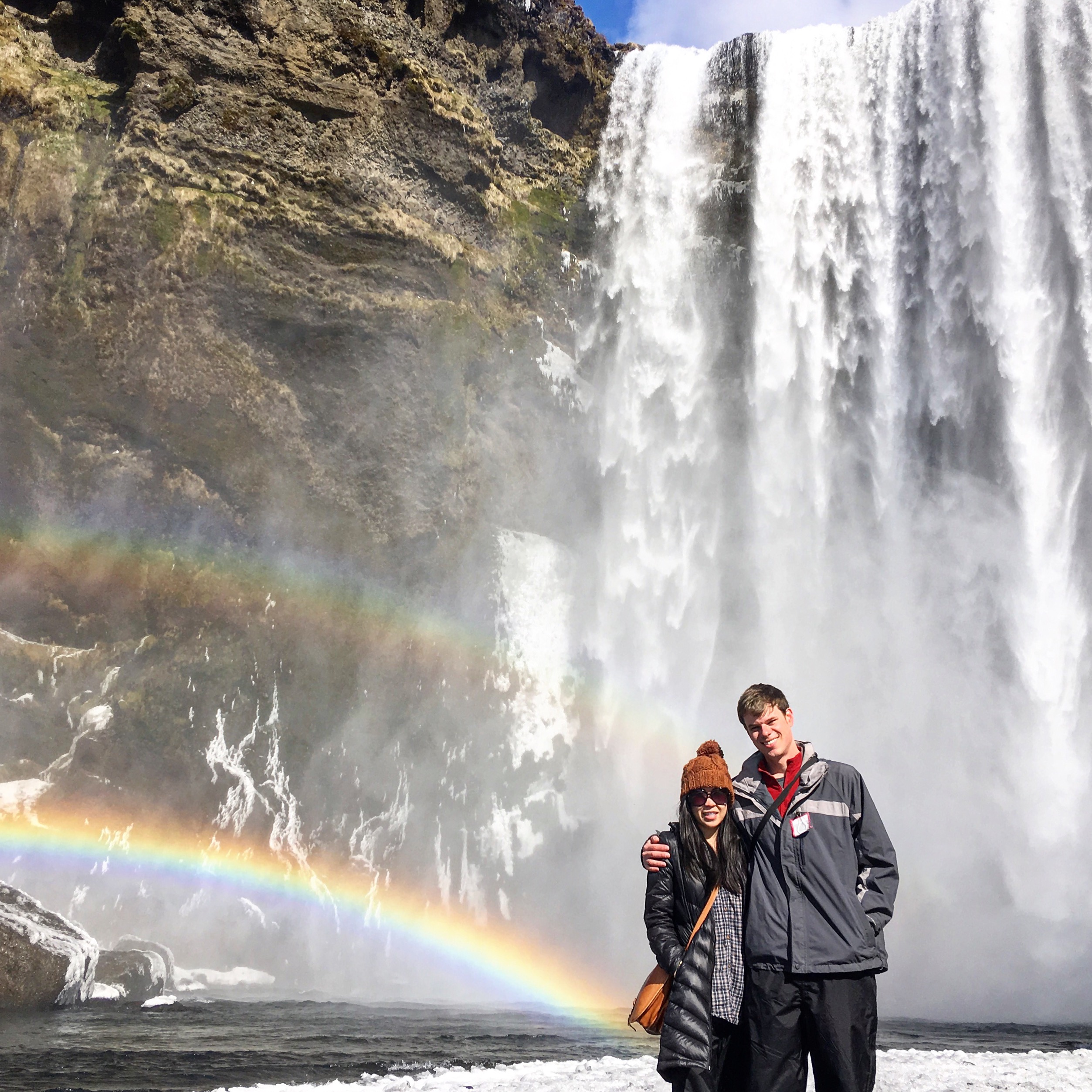
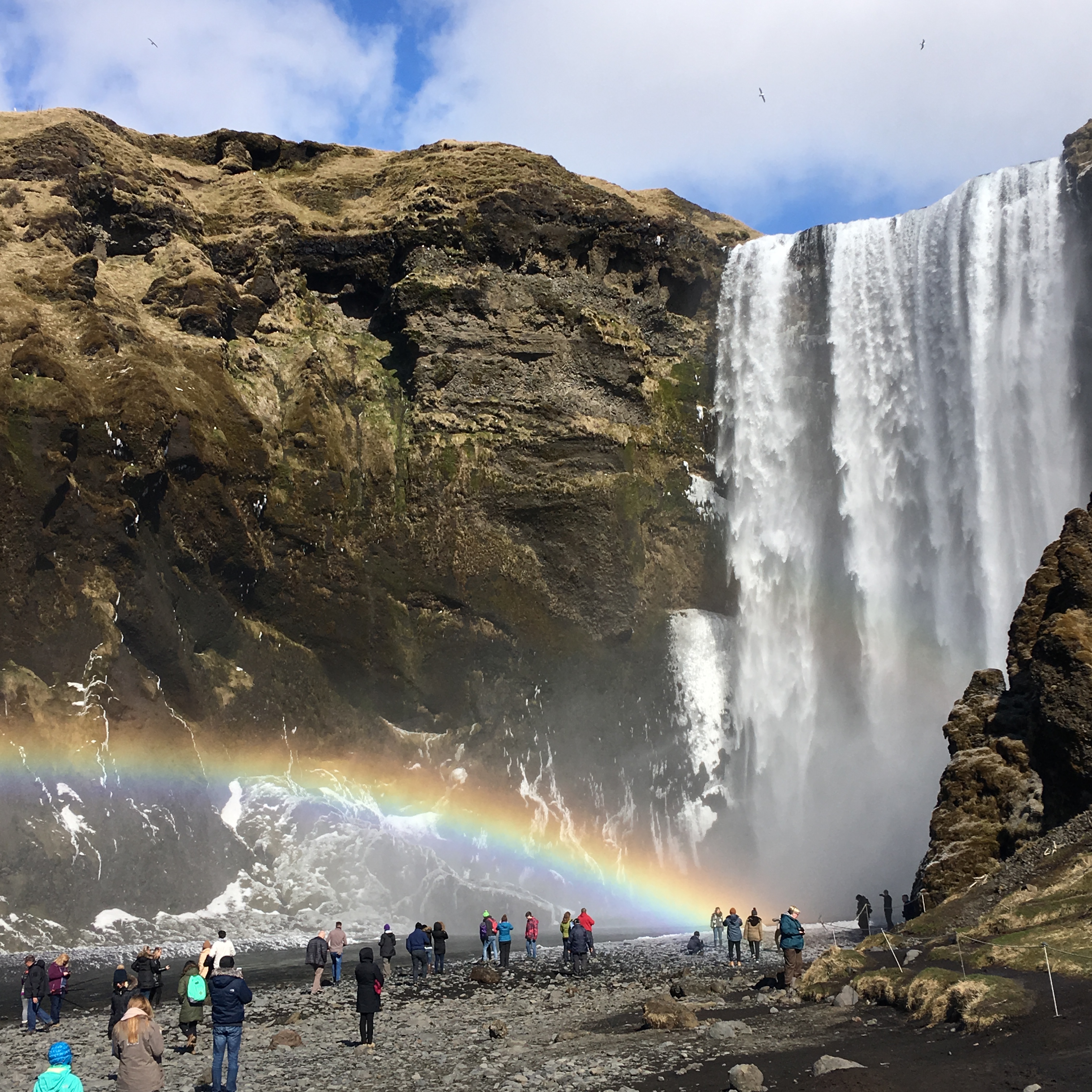
Stop 2 was Skogafoss Waterfall. Skogafoss produces the most stunning double rainbows and you can literally walk right up to the rushing water. You can also walk a long staircase (527 steps in total) leading up to a pavilion at the top of a hill, where you can observe the powerful waterfall from the top-down. Legend has it, a chest filled with gold was hidden somewhere behind the waterfall by a Viking settler.
Next, we headed to the haunting site of the Sólheimasandur plane crash, one of Iceland’s most iconic and photographed locations. The plane is a U.S. Navy Douglas Super DC-3 airplane – it was forced to crash along the black sand beach after it experienced severe icing during flight. Fortunately, the crew survived and the wreckage still exists today. Unfortunately, it’s actually a trek to get to the crash site (2.5 miles one way)….from a distance, it didn’t look that far. But we walked for what seemed like miles! Totally worth it though (I needed to burn some extra calories due to severe chip-snacking while sitting in the car).
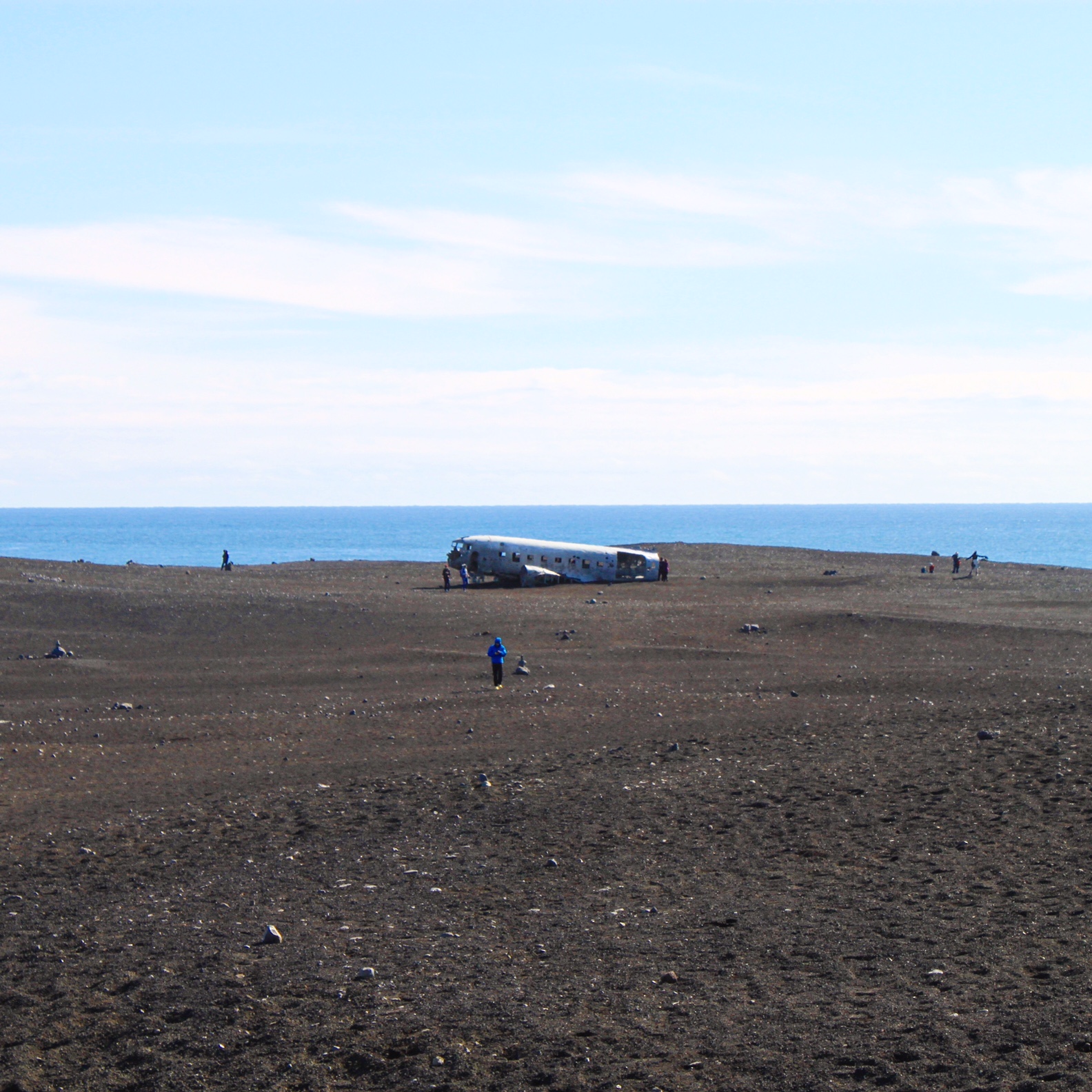
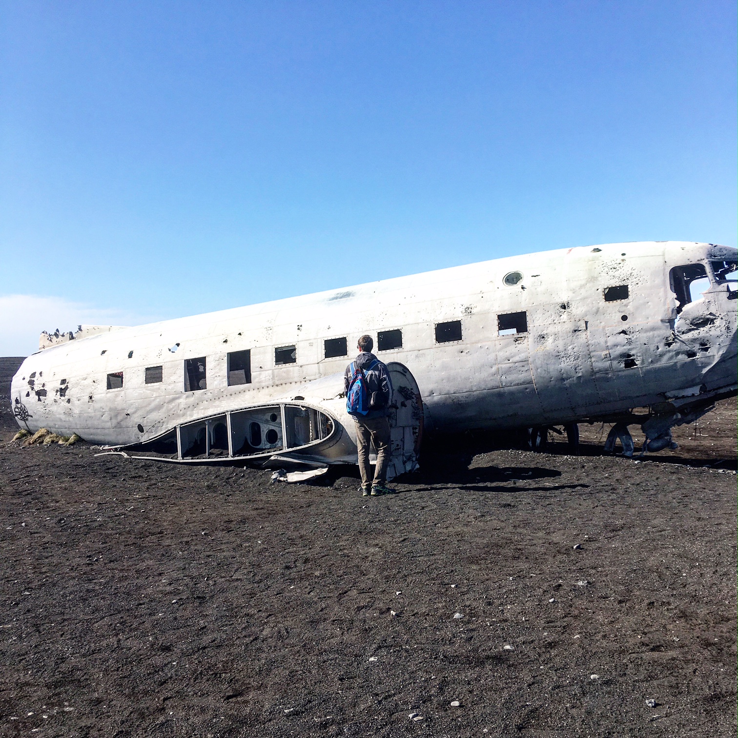
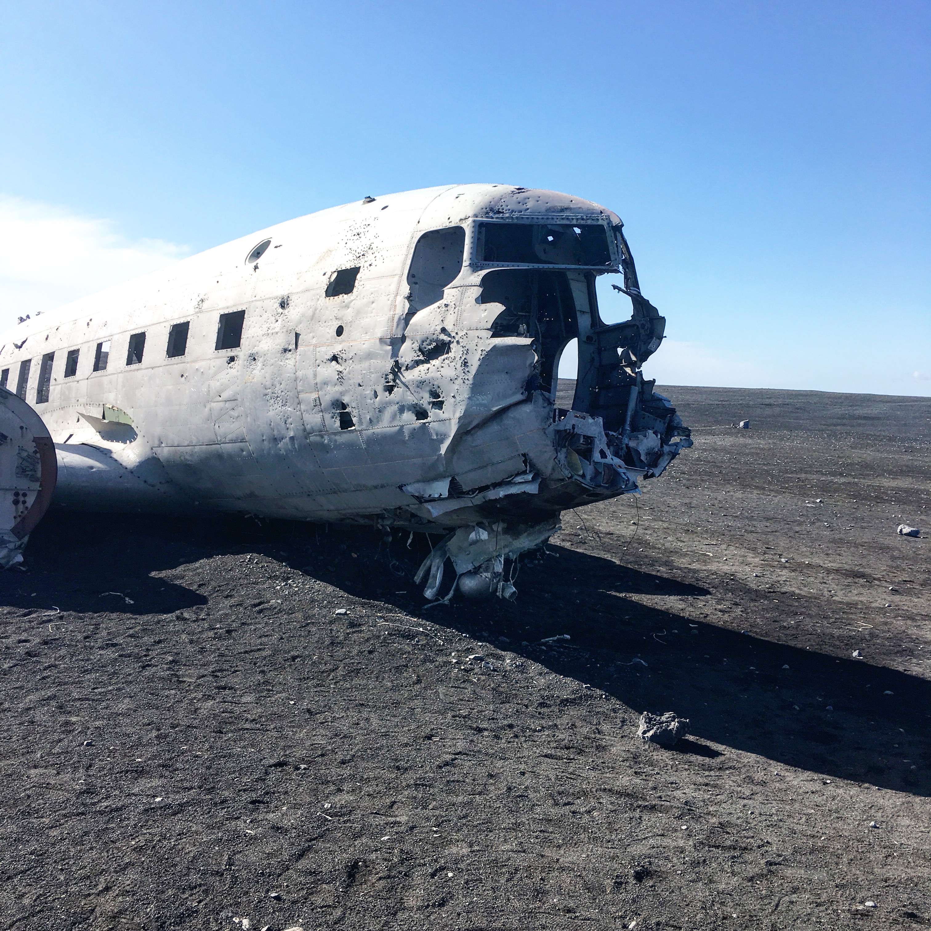
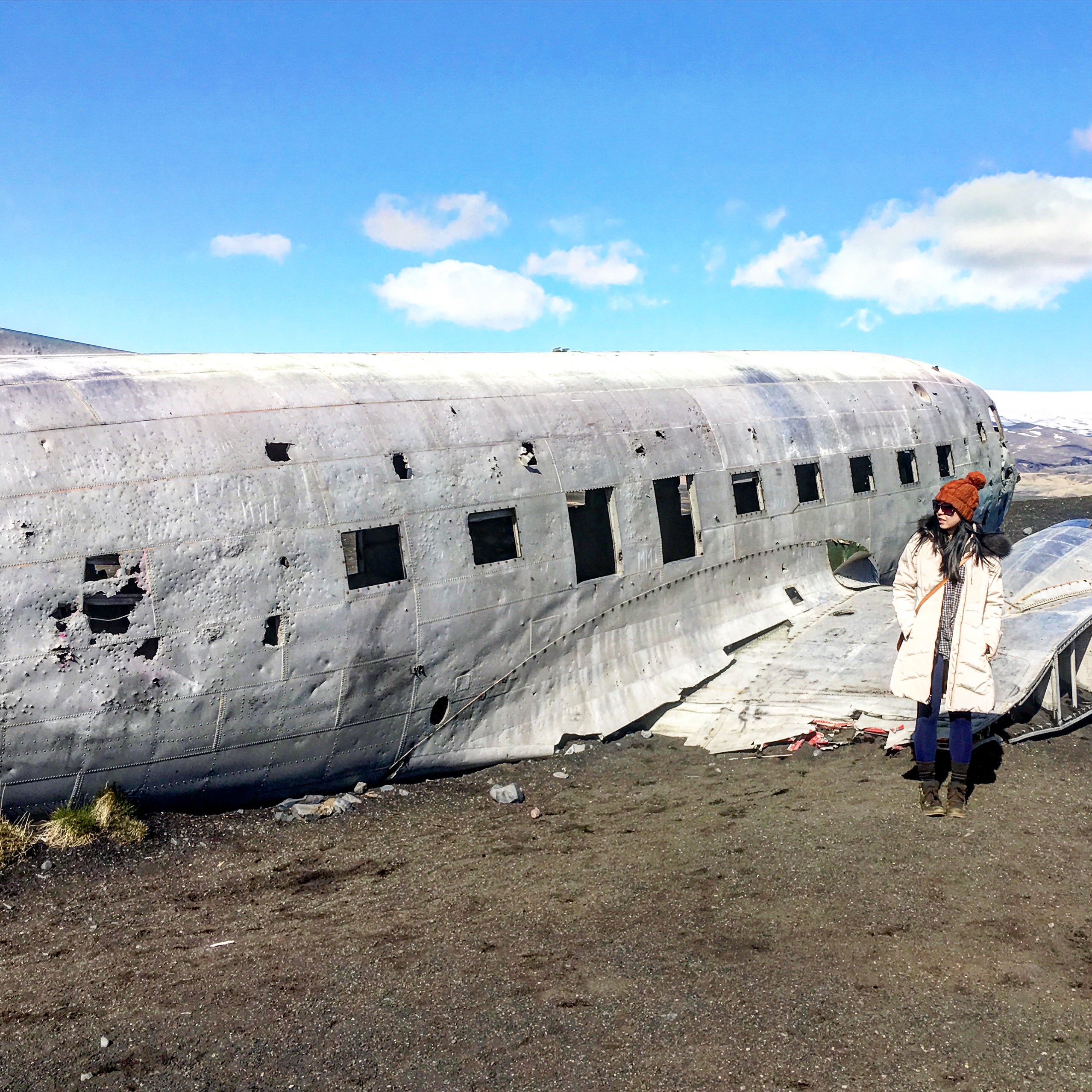
Despite being absolutely awesome to see, Sólheimasandur was actually a bit of a frustrating visit. It was extremely difficult to get a decent picture because people were climbing all over the wreckage. It also made me really upset to see parents allowing their kids to break off chunks of the wreckage and throw it on the ground! Have some respect people! Am I right?!
The last stop of the day was at the Dyrhólaey arches. Dyrhólaey is a small peninsula (that used to be an island) that is divided into 2 parts (the higher and the lower viewing areas). We went to both, but if you’re short on time, I would recommend turning right and exploring the higher part of Dyrhólaey. It requires driving up a fairly steep hill, but once you’re at the top of the hill, you’re rewarded with spectacular views of a lighthouse and the surrounding area.
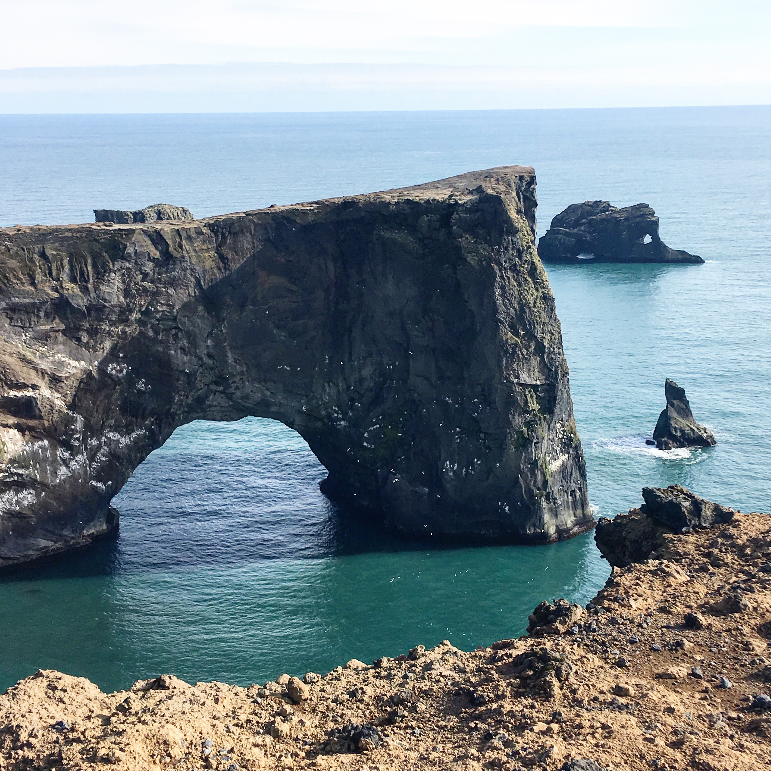
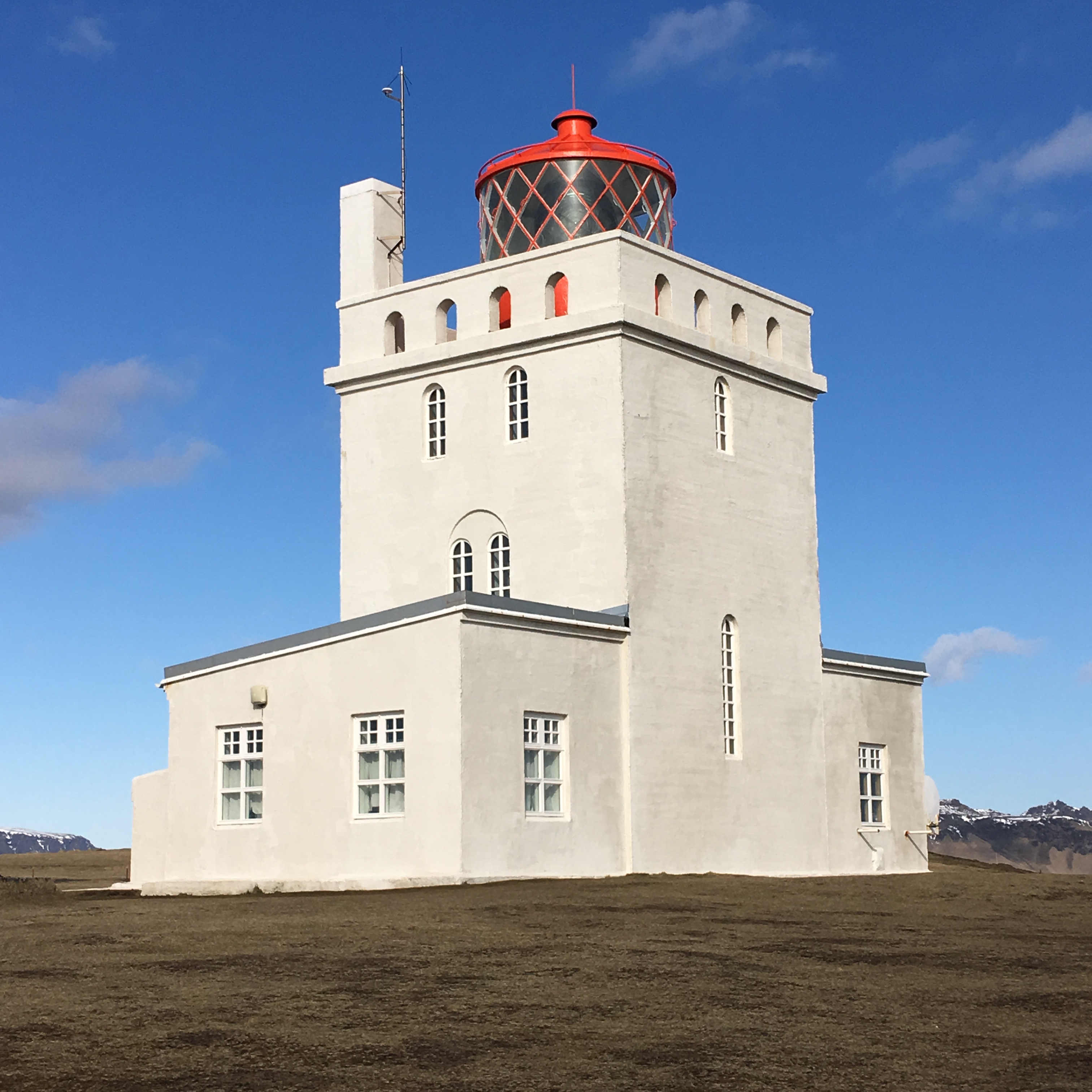
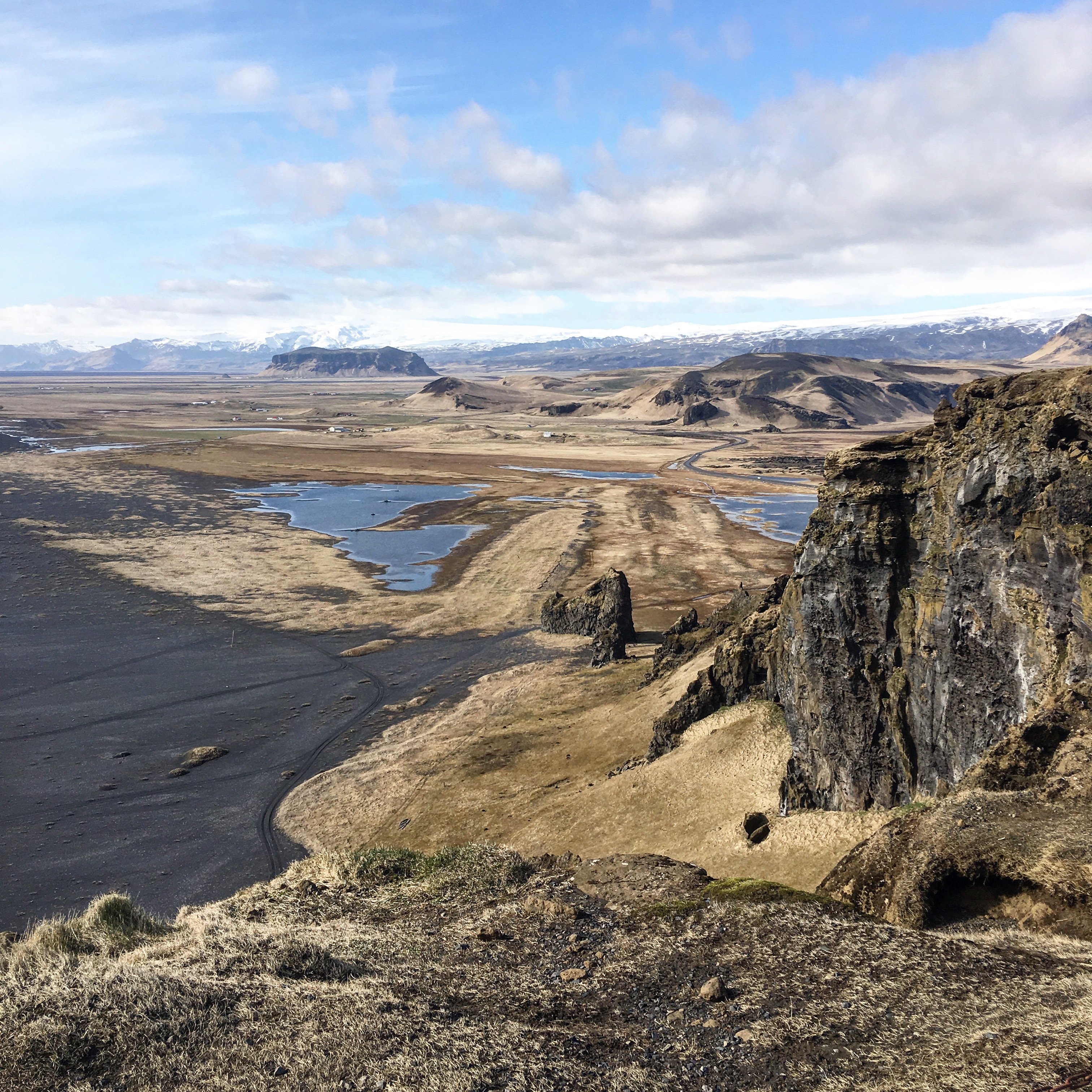
TIP: If you’re hoping to catch a glimpse of the Northern Lights, this would be a good place to drive to at night! Since you’re so high up, there’s nothing to obstruct your view!
We settled in for the night at the Icelandair Hotel in Vik, which was quite modern and comfortable. For some reason, I thought Vik would be much bigger than it actually was (it’s one of the larger cities in Iceland)….but it felt absolutely tiny! Just a small cluster of houses and a quaint adorable church. City population: ~300.
Day 5: Svartifoss + Jökulsárlón

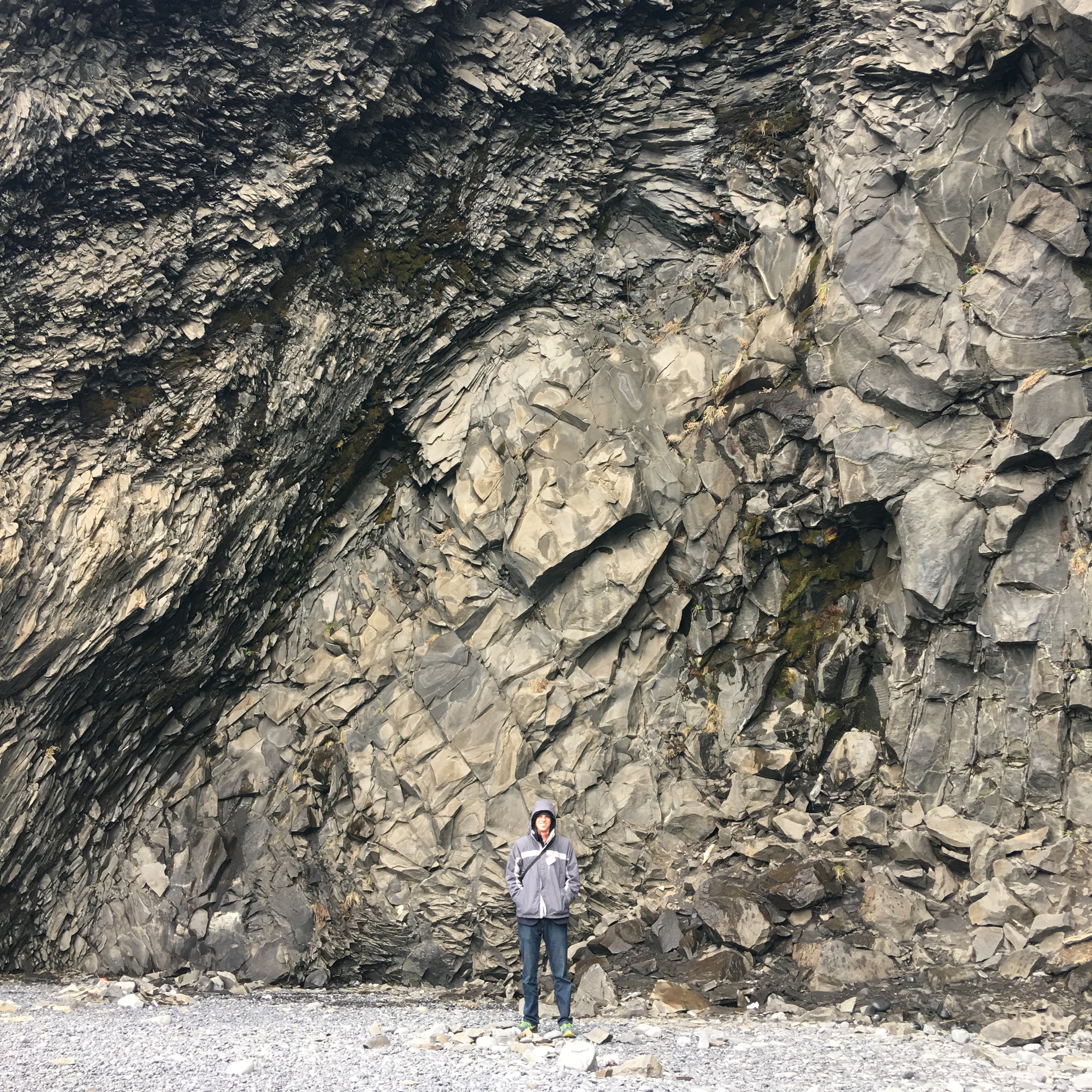
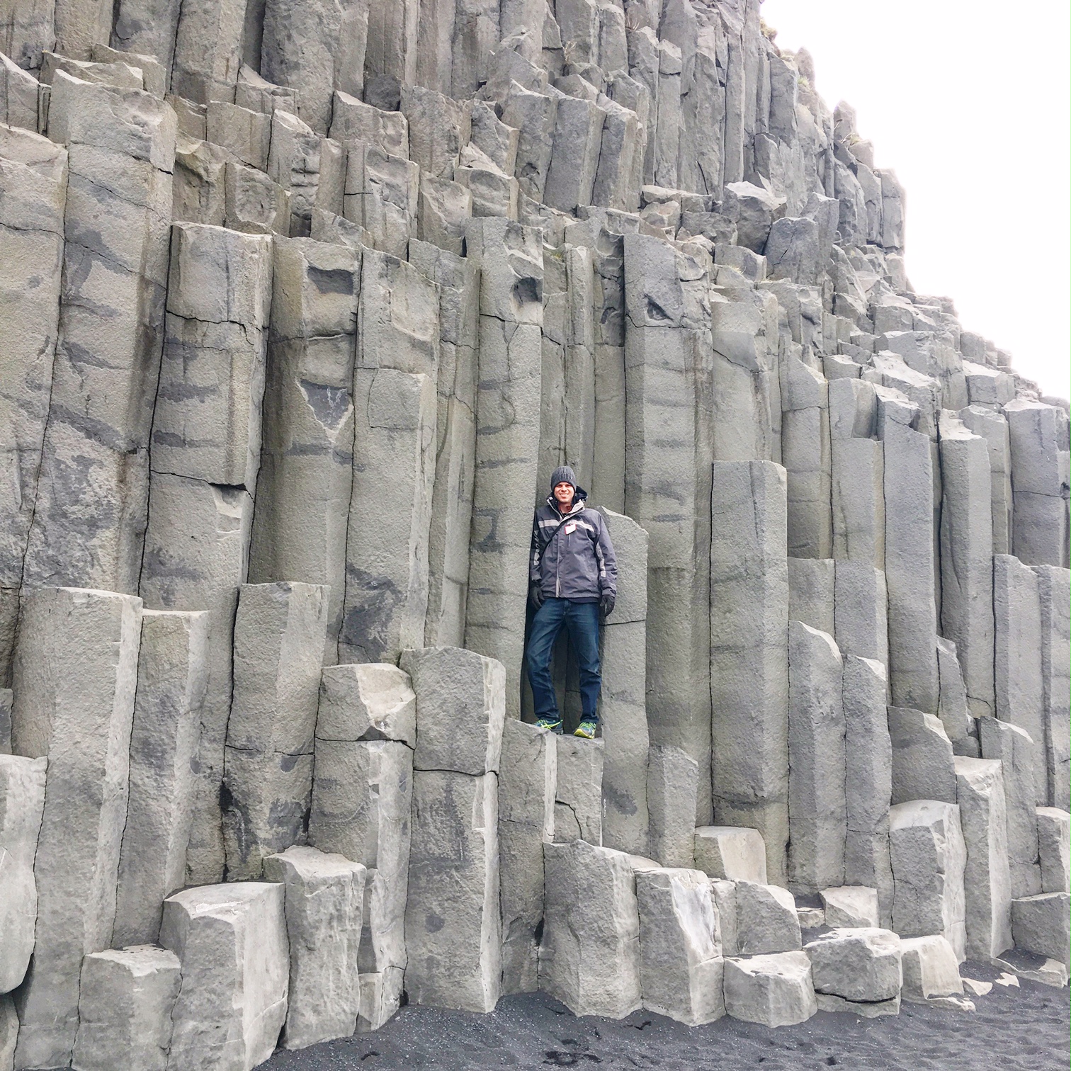
After treating ourselves to a scrumptious breakfast buffet at the Icelandair Hotel in Vik (totally worth it by the way….the food in Iceland is expensive, but a buffet makes it feel like you’re getting your money’s worth!), we took a short 5-minute drive to the Reynisfjara black sand beach and spent time exploring the impressive basalt sea stack cliffs. Folklore states that these hexagonal columns are actually the remains of 2 trolls who were trying to pull ship out of the sea, when the sunrise caught them turned them into stone. Science states that these perfectly hexagonal basalt columns are formed when lava contracts and begins to slowly cool down. Not quite as romantic, but still pretty cool!

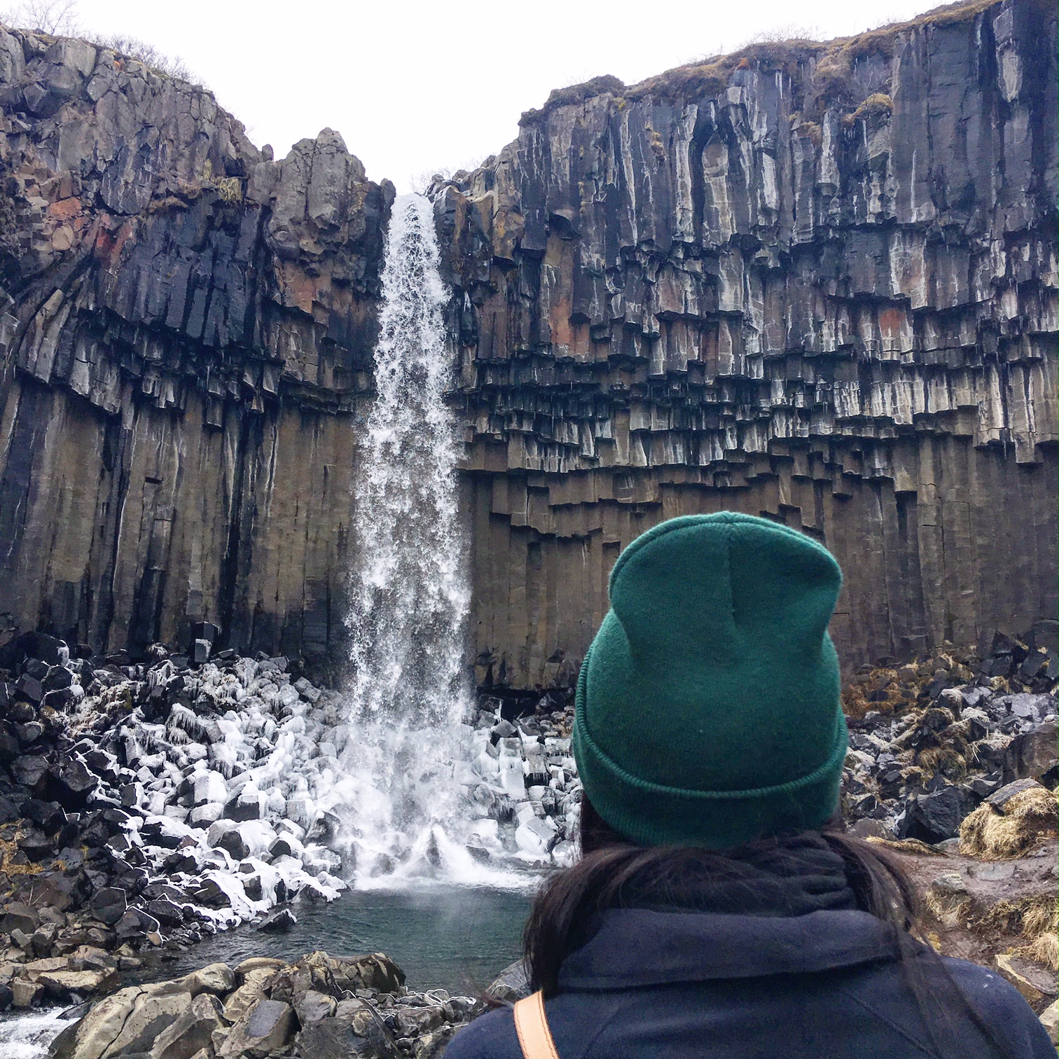
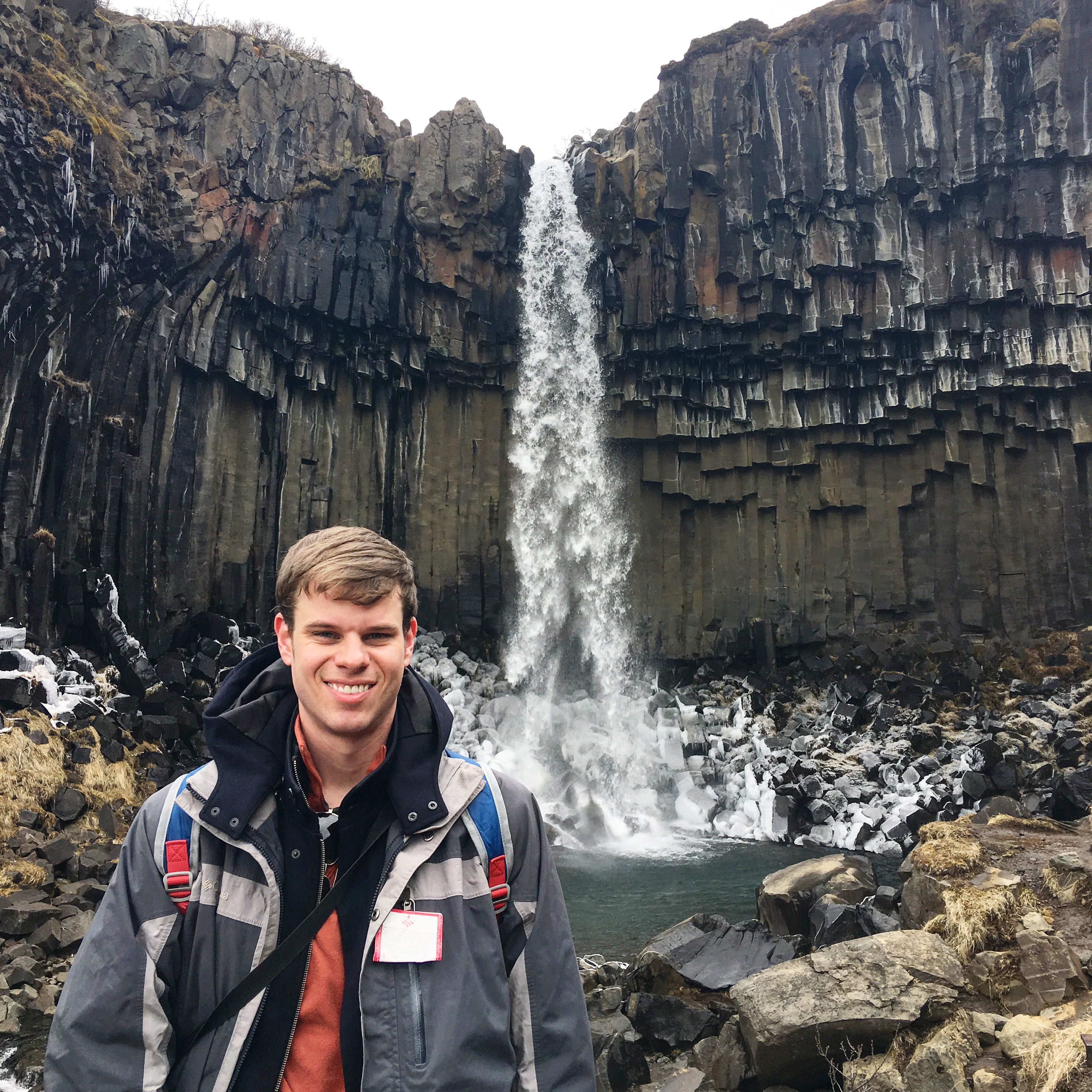
Afterwards, we made our way to the main activity of the day…the hike to the magnificent Svartifoss Waterfall. Svartifoss was absolutely stunning. The cliffs are over 80-feet tall, and the water rushes over jagged hexagonal rocks that resembles the pipes of an organ. The hike itself was a little over a mile round trip, but the incline was fairly steep in some places and extremely muddy!
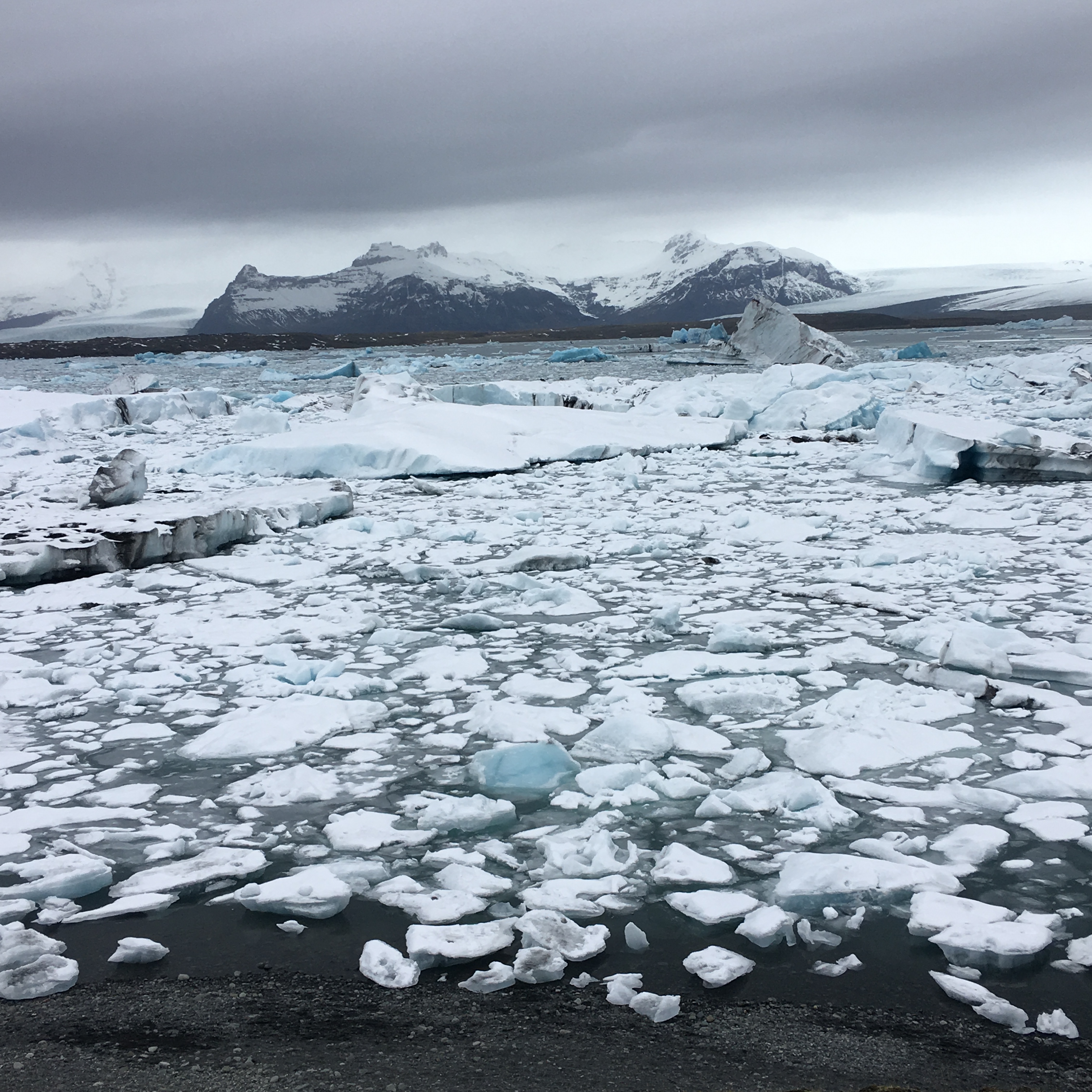
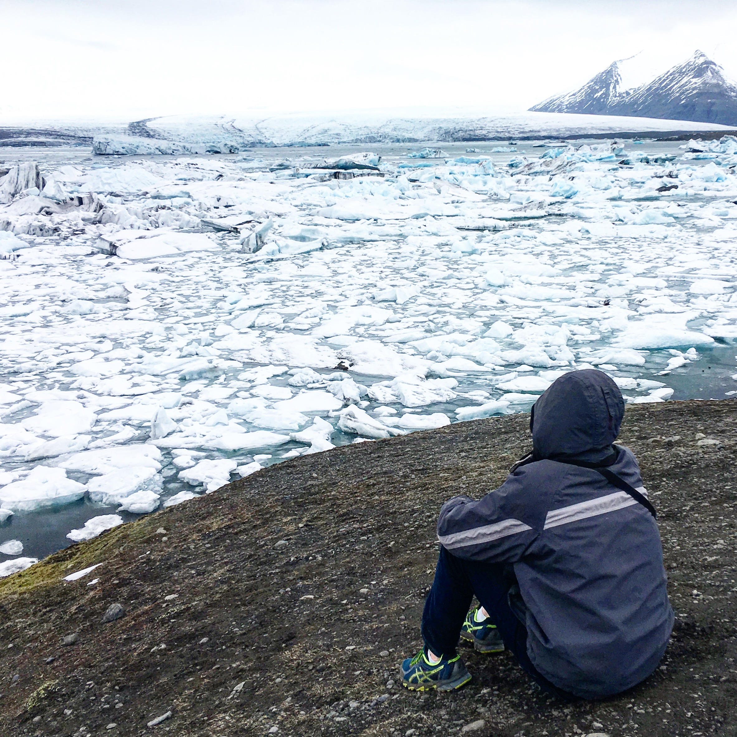
We then made the long drive to the magical Jökulsárlón Glacier Lagoon. When we first planned our Iceland trip, we debated about whether or not to skip the glacier lagoon because the drive was totally out-of-the-way, and our time was limited. It was a good thing we changed our minds, because it was our absolute favorite part of the trip.

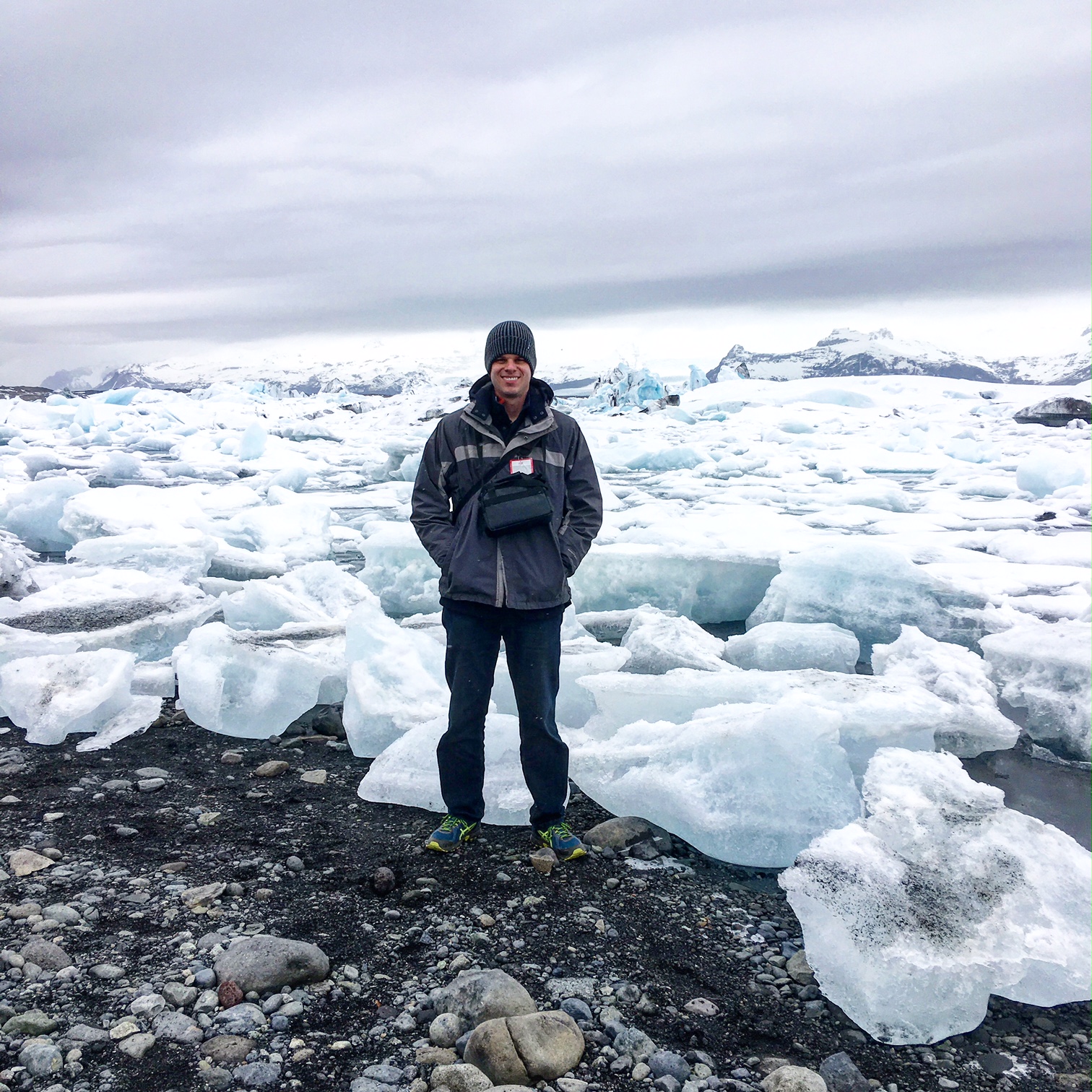
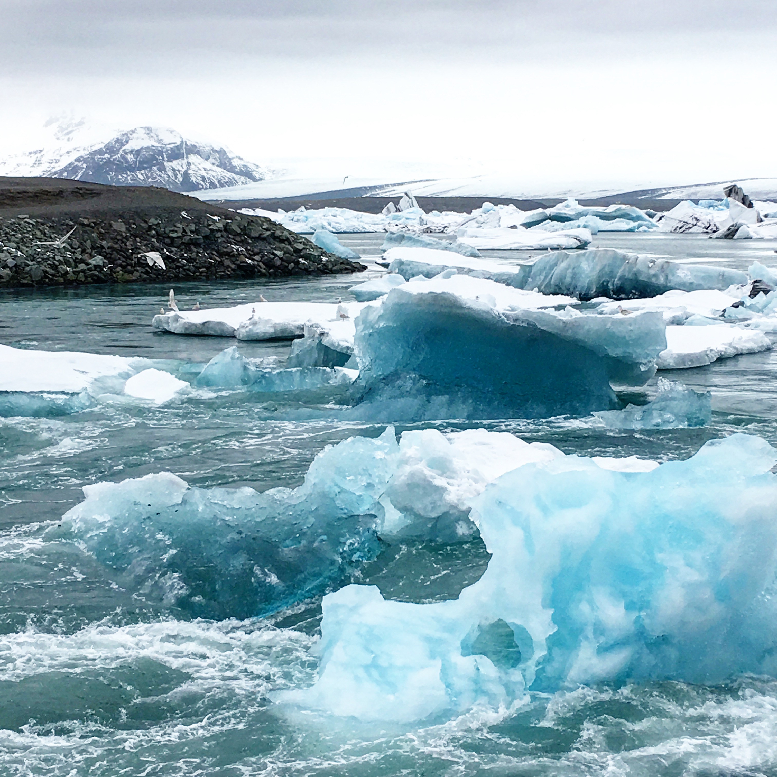
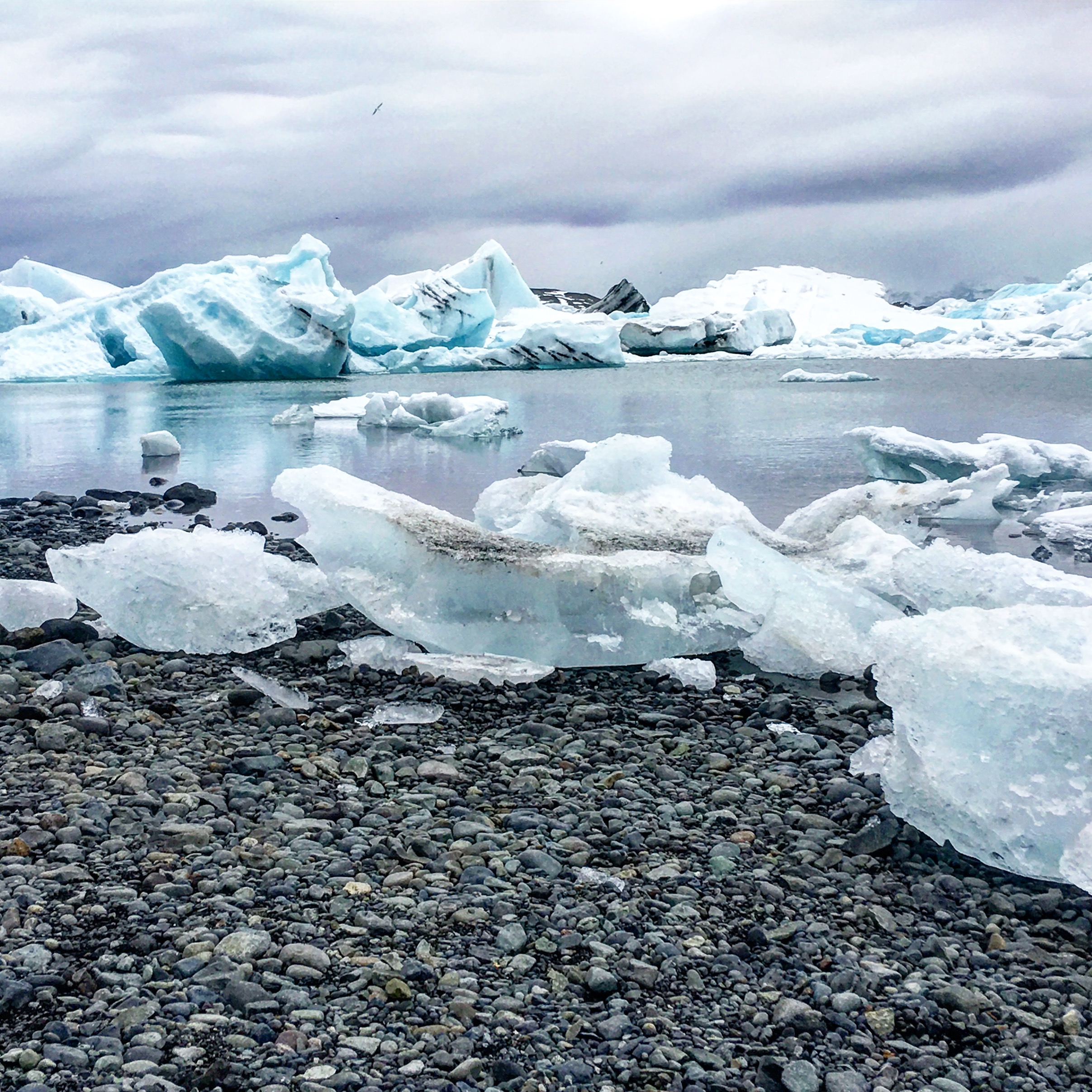
When I first saw the lagoon, I literally gasped out loud. The crystal blue waters dotted with massive, glistening icebergs is truly a wonder to behold (in fact, locals call the surrounding black beach, Diamond Beach, since the icebergs resemble sparkling diamonds in the sun). The icebergs in Jökulsárlón come from the Vatnajökull, Europe’s largest glacier. The lagoon itself is the result of melted glacial water, and sadly, is getting bigger every year due to the effects of global warming. The site was a startling reminder of the need for us to take better care of Mother Nature. We hung out in the area for awhile, admiring the views and witnessing the ice forms evolve, melt, and break into new shapes and masses. My husband was especially excited when he got to film several seals, bobbing and peeking their heads through the water…as if they were trying to say hi!
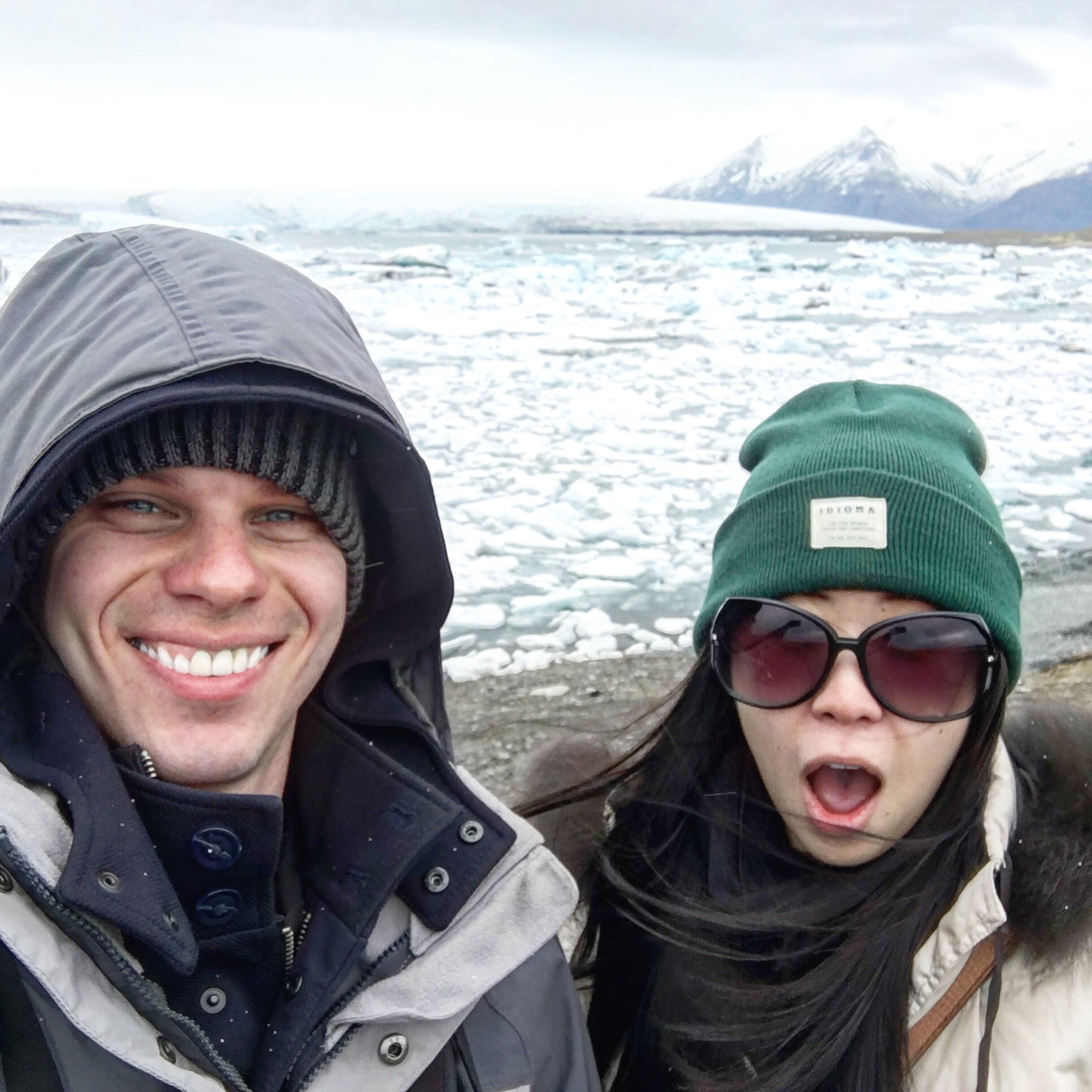
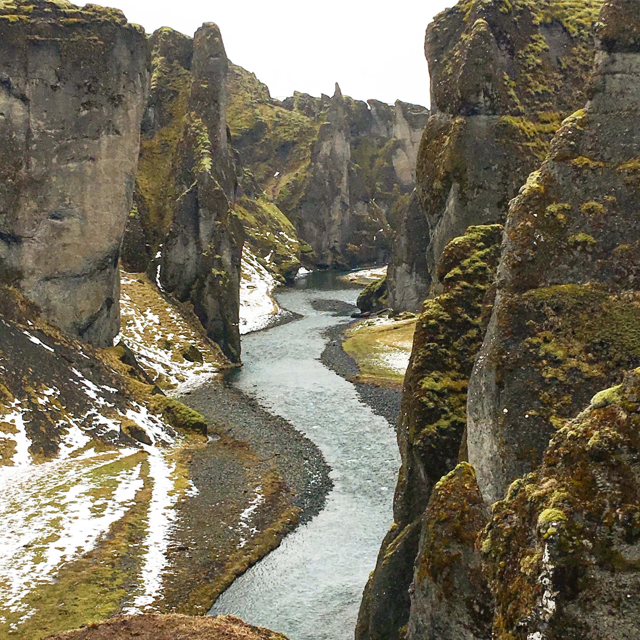
After the glacier lagoon (and a nice hot pick-me-up of coffee and tea at the local gas station), we made the long journey back to Reykjavik. On our way back, we made a stop at the Fjaðrárgljúfur Canyon to stretch our legs. From there, it took us several hours to get back to Reykjavik as we got stuck in a crazy snowstorm that seemed to come out of nowhere! With blasting winds and narrow roads, it was actually quite a frightening experience. We were pretty thankful for Agor (our trust 4-wheel drive) at that time.
TIP: Hikers can walk through the Fjaðrárgljúfur Canyon as the river that runs through it (Fjaðrá) is oftentimes relatively shallow. We didn’t do this, but instead, decided to walk the path up the canyon’s edge, overlooking the river, to get the best views.
Day 6: Blue Lagoon
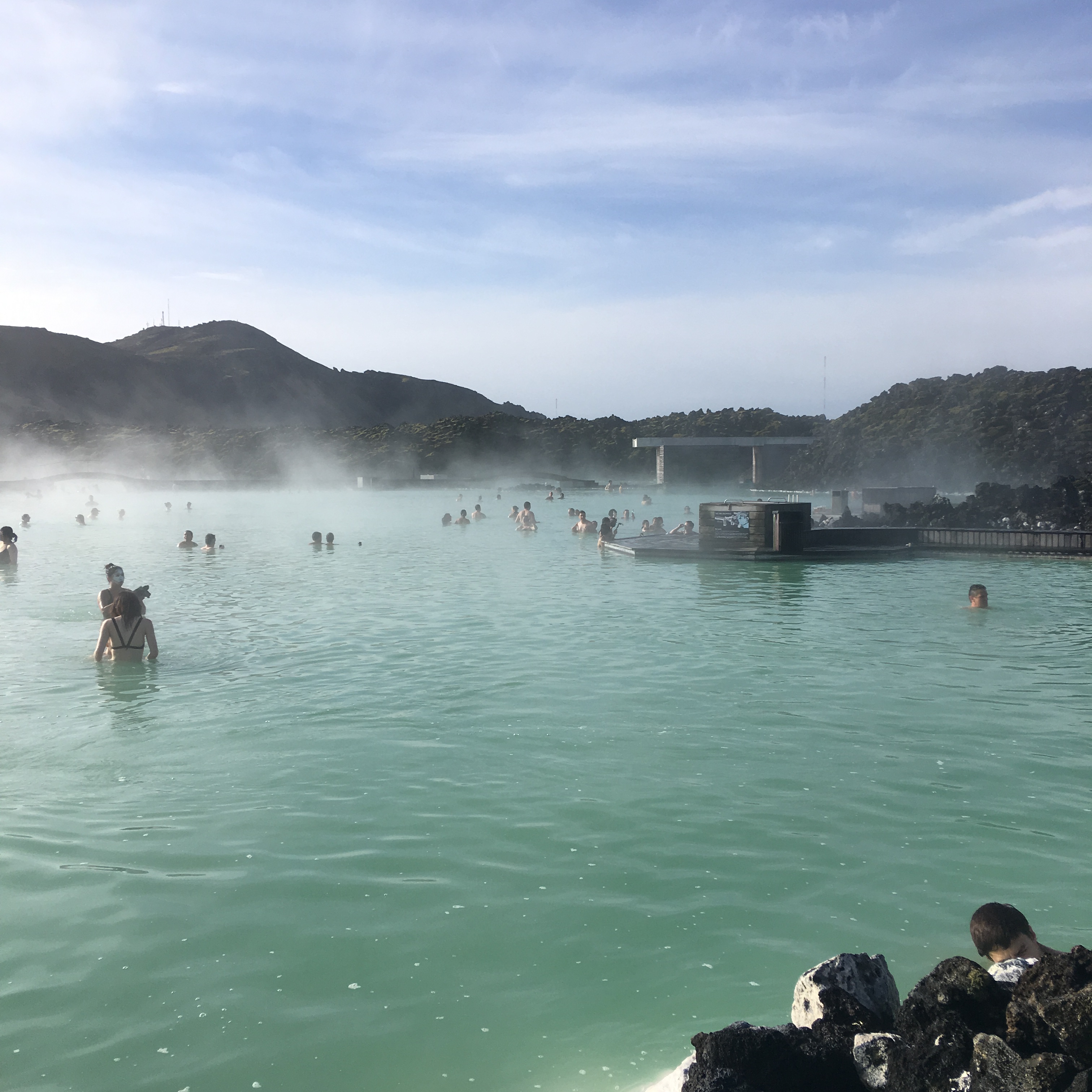
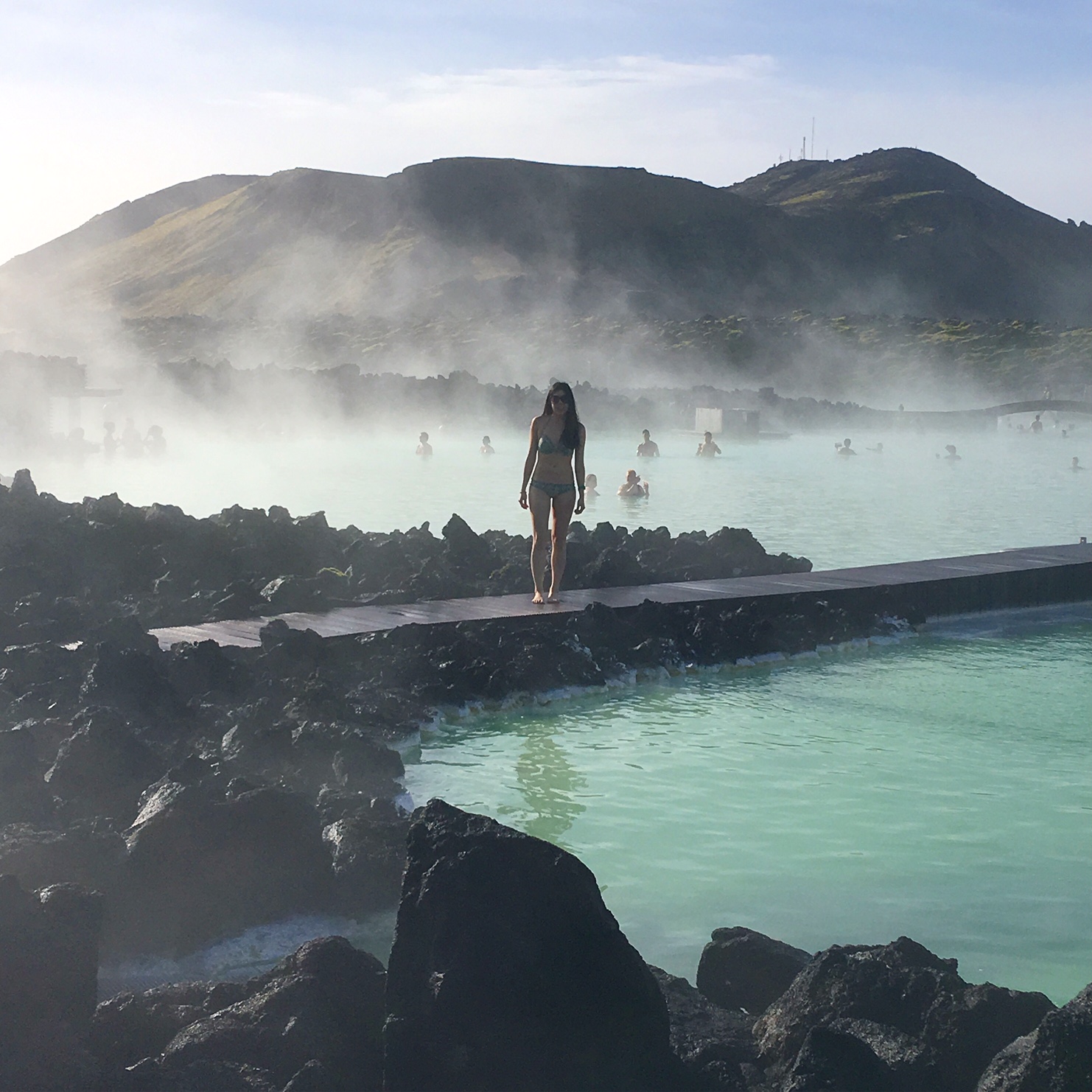
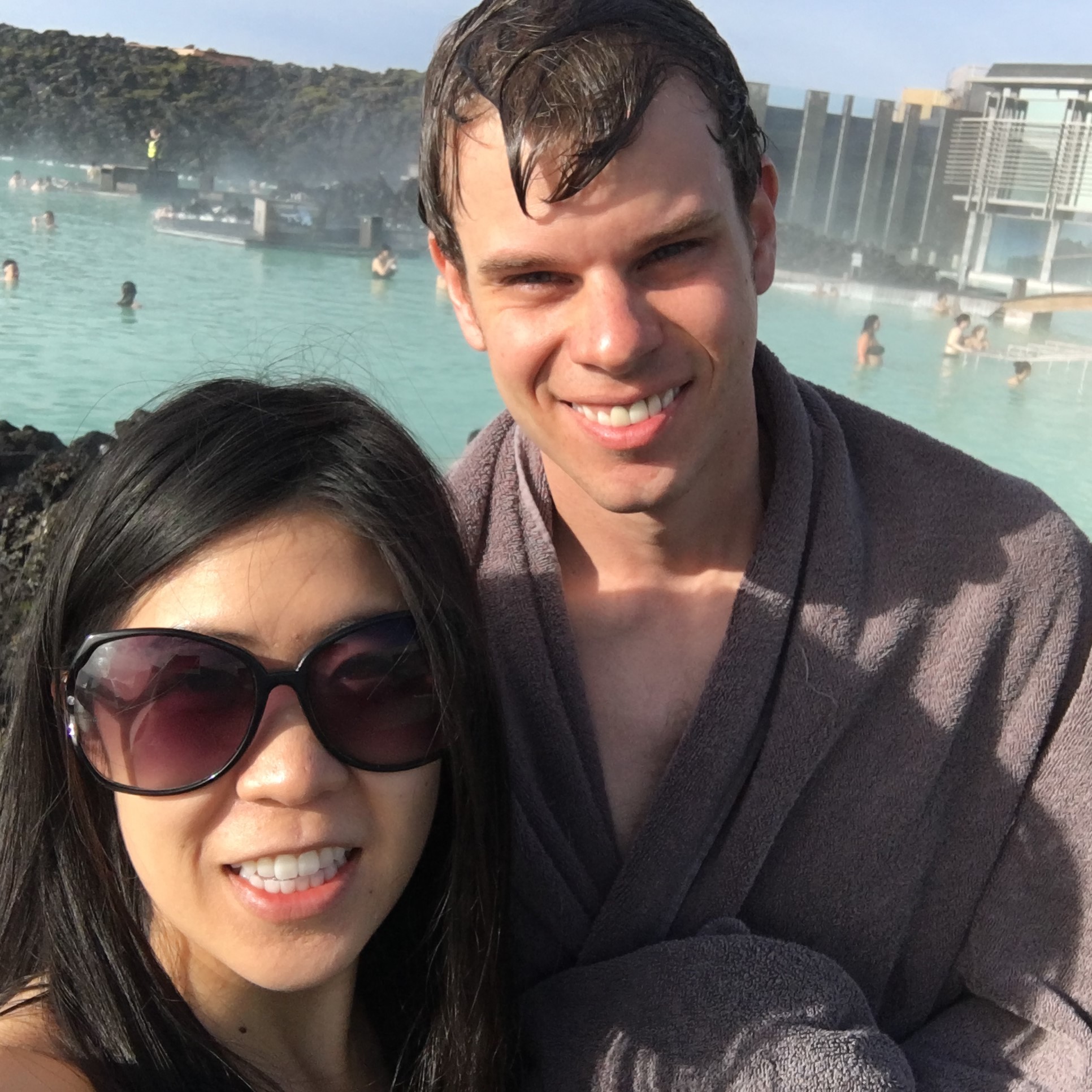
Our last day in Iceland was spent relaxing sore muscles (sore from all the active hiking we did on the trip!) at the famous, popular Blue Lagoon geothermal spa. Although it looks supernatural, the Blue Lagoon is actually a man-made spa, and the waters are the output of a nearby power plant. We spent a few hours bathing in the ‘healing’ waters – the water is rich in silica and sulfur minerals, which is supposed to be good for the skin (it also gives the lagoon it’s famous milky blue waters). I persuaded my husband to use the silica mud on his face, as a face mask. He was not a fan.
TIP: Since the Blue Lagoon is conveniently located between the Keflavik Airport and Reykjavik, most visitors will stop there on their first or last day in Iceland.
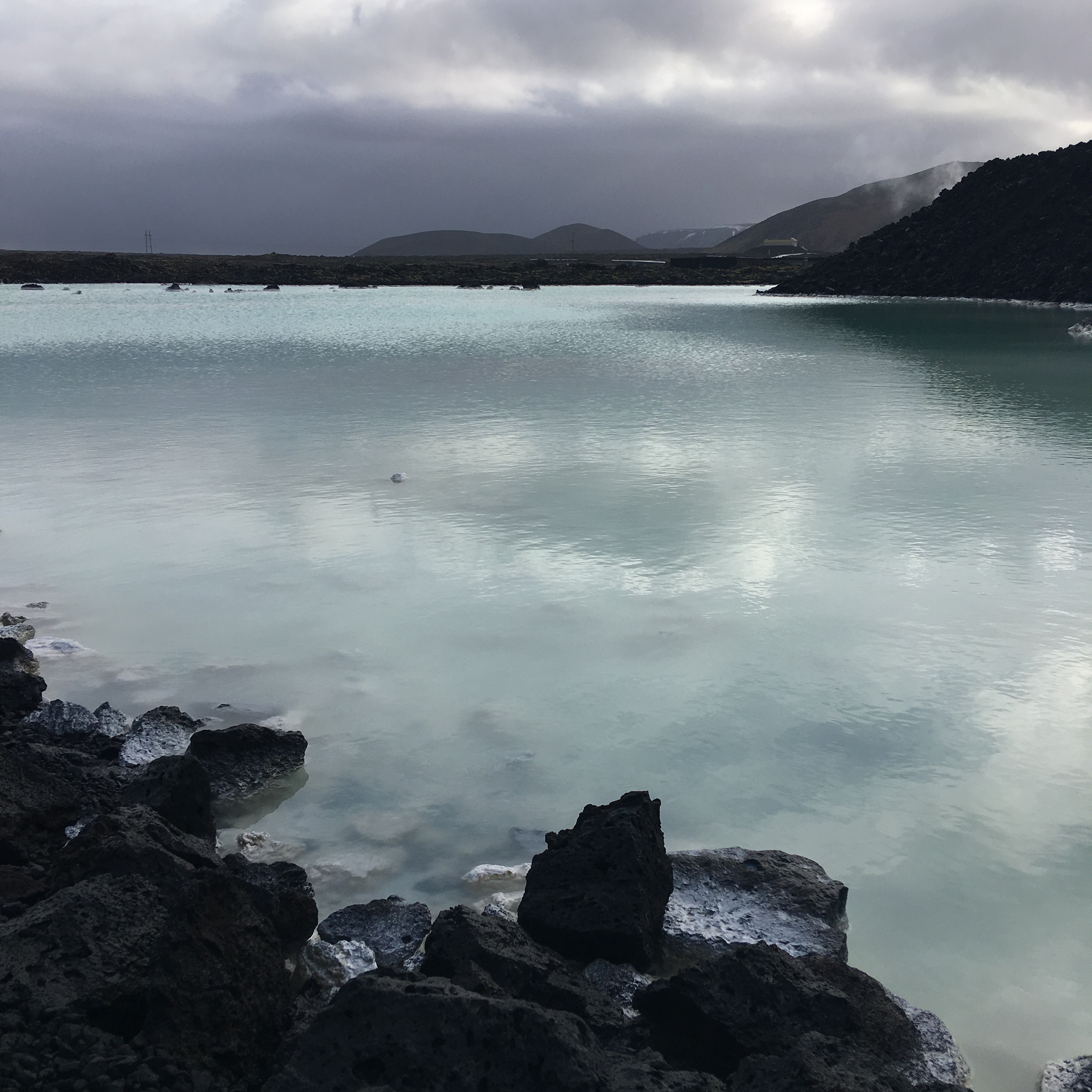
TIP: If you do visit the Blue Lagoon and have long hair, make sure to drench your hair in conditioner and bring a hair elastic! The minerals in the water can make your hair very stiff, so it’s best to keep it away from the water.
I had done a tone of research before our Blue Lagoon visit….and everything I read featured extremely polarizing viewpoints (e.g. some LOVED their experience, while others HATED how commercialized and crowded it had become). I wasn’t quite sure what to expect – but while it wasn’t our favorite part of the trip, I will admit that we enjoyed our time there. Because we visited the lagoon early, the showers/locker areas were still clean, the water surprisingly warm, and the lagoon itself not super busy. In fact, the whole experience was quite pleasant. It was a great way to cap off an extraordinary trip!
Want more details or need help planning a visit to Iceland? Sign-up for my e-mail list or shoot me a comment/question below!



Leave a Reply